Featured
News & updates

Marijuana possession pardons
The Governor is pardoning those convicted of marijuana possession before March 13, 2024.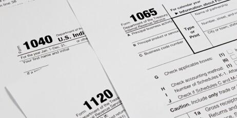
Tax season information
Important information from the Department of Revenue for filing your taxes.
DCR April vacation week activities
Check out DCR's activities for April vacation week.