Municipal Mapper
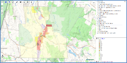
Municipal Mapper ("MuniMapper" for short) is a FREE mapping tool created by MassGIS for individual communities. It allows for viewing of map information from the MassGIS statewide map repository that is specifically relevant to cities and towns. Over 80 towns have one and several have sent us their own GIS data files for inclusion.
Additional Resources
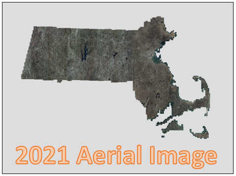
Free 2021 high-quality color, leaf-off imagery for streaming or download
These images can serve a variety of purposes, from general planning to field reference for spatial analysis, to a tool for data development and revision of vector maps. The imagery can also serve as a reference layer or basemap for myriad applications inside geographic information system (GIS) software and web-based maps.
Additional Resources
Massachusetts' Master Service Agreement with GIS software company Esri
All political subdivisions of the commonwealth can purchase GIS software and GIS-related services from Esri. The contract prices are less than "list" and about the same as Federal GSA pricing.
Additional Resources
Massachusetts' Master Service Agreements for GIS Services
There is a state contract (“ITS74”) through which any Massachusetts government agency (state, regional, local) can procure information technology services. The contract has a roster of pre-qualified companies that that can provide IT solutions in several categories. One of the categories is General GIS Services.
Additional Resources
Municipal GIS Staff ListServ
To help increase communication among primary municipal GIS staff, MassGIS has created a moderated listserv. Scores of cities and towns have in-house GIS staff, most of whom have joined. It is meant to be a forum to exchange ideas about best practices, hardware and software configuration, and anything else appropriate to the group. To request to join the group, please send email with all contact info to: massgismail@mass.gov