Downloads
Overview

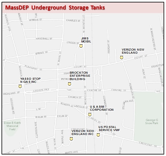
The Massachusetts Department of Environmental Protection (MassDEP) Underground Storage Tanks datalayer is a statewide point dataset containing the locations of facilities having one or more underground storage tanks.
Effective July 1, 2009 MassDEP began implementing federal requirements addressing the registration and inspection of Underground Storage Tank (UST) systems used to store petroleum fuels or hazardous substances. UST Facility locations were field-verified and/or mapped using digital orthophotos and parcel data.
The layer is stored in ArcSDE as BWP_PT_UST.
Source
Data Universe
In 2010, MassDEP undertook a field verification project to clarify the universe of Underground Storage Tank facilities and confirm their locations. Using the Underground Storage Tank database acquired from the Department of Fire Services (DFS), a list of “active” underground storage tank facilities was generated. Facilities without previously confirmed locations* were address-matched to create a “development layer”. Digital orthophoto-based site maps were created using the best available location for each facility. MassDEP staff brought these site maps into the field to confirm or improve mapped locations. The data are current as of April 29, 2016.
Data Sources
The primary sources of information for this datalayer include:
- Field verification by MassDEP staff
- Site-specific knowledge of Bureau Air and Waste (BAW) Compliance and Enforcement staff
- Surveys, site plans and locus maps from MassDEP records
- Interpolation of orthophoto imagery and parcel data from MassGIS
* Links in the Related Information section of this page contain additional information regarding previously confirmed locations and other data sources utilized in the development of this datalayer.
Production
Point Development Tool
To facilitate conversion of institutional knowledge and paper data to a digital format, the MassDEP GIS Program created the Point Development Tool (PDT), a customized application using ESRI’s ArcView software (the PDT application is available as an extension to the MassGIS DataViewer). The PDT provides a standardized platform that guides users through the automation and documentation of geographically referenced point data. MassDEP GIS and technical staff used the PDT to locate facilities based on knowledge gained in the course of their professional activities. On screen digitizing using the PDT was the primary method of automation.
Basemap Scale
Using data in the “development layer” the PDT navigates data developers to the general vicinity of a site. The PDT then displays the best digital base imagery available for that vicinity. Half of the facilities in this UST layer were mapped prior to the 2010 field initiative. Many of these locations were based upon earlier PDT mapping efforts. In 1998, the PDT used MassGIS 1 meter (1:5,000) black and white digital orthophoto images (DOQ) as the default basemap. Where 1 meter 1:5,000 DOQs were not available, the PDT defaulted to 1 meter USGS (1:12,000) black and white digital orthophoto images or (1:25,000) USGS topographic quadrangle imagery respectively. When PDT data development began, the only available digital basemap imagery for much of Massachusetts was the MassGIS scanned USGS (1:25,000) topographic images. Therefore, the base scale of this datalayer is considered to be 1:25,000.
Other Methodologies
In the absence of field verification or staff with professional knowledge, facility files were checked for location information. Facility files maintained by MassDEP contain a variety of types and quality of maps, including surveys, site plans and locus maps. MassDEP GIS and BAW Program staff reviewed this file information and identified the best manuscript maps and supplemental text information for locating UST facilities. Locations were entered using the PDT. With multiple years of orthophoto imagery and the increased availability of parcel data, many recently mapped locations were developed without the need for field verification.
Attributes
The point attribute table for the MassDEP Underground Storage Tanks datalayer contains the following fields:
| FIELD | TYPE-WIDTH | DEFINITION | |||||||||||||||
| FAC_ID | Long Integer | Facility ID from MassDEP's Facility Master File (FMF) Database. The FAC_ID is a unique identifier used in the FMF Database to identify facilities and their ownership. | |||||||||||||||
| FAC_NAME | Text - 45 | Facility Name from FMF Database | |||||||||||||||
| ADDRESS | Text - 38 | Number and street address of the facility, as listed in the FMF Database. | |||||||||||||||
| TOWN | Text - 21 | The standard MassGIS city/town name | |||||||||||||||
| REGION | Short Integer | A code corresponding to the MassDEP Region in which the facility is located. This field uses standard MassDEP Region codes:
|
|||||||||||||||
| USTID | Long Integer | Underground Storage Tank ID (a.k.a. Dept. of Fire Services (DFS) Facility ID), a unique identifier for a UST “facility” which may include one or more underground storage tanks. USTID provides a link to UST Program databases downloadable via UST Query tool link below. |
Related Information
MassDEP Location Documentation Table: (BWP_MAJ_LDT) - See DEP Standards for Point GIS Data
MassDEP Underground Storage Tank Program Query Tool: https://ma-ust.windsorcloud.com/ust/facility/search/list?0
Other MassDEP-regulated facilities available as point features – See MassDEP Major Facilities and Solid Waste Operations other than Land Disposal datalayers.
Maintenance
The MassDEP Underground Storage Tank datalayer is maintained by the MassDEP Bureau of Air and Waste. A regular update schedule has not been determined at this time. Updates may include improvements to mapped locations, clarification re: multiple tanks at a given facility and/or the location of facilities not included in the datalayer at this time.
As of April 29, 2016: the locations of 3,788 features represent 97% of active Underground Storage Tanks.
If you have questions regarding this datalayer, please contact the UST Hotline at (617) 556-1035 ext 2 or dep.ust@mass.gov.