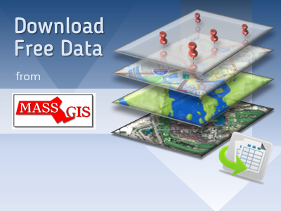
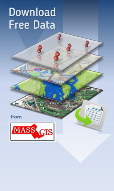
MassGIS is the state’s one-stop-shop for interactive maps and related descriptive information. You can view and explore our extensive library of map information. Use our interactive MassMapper to make your own maps. You can also explore a selection of topic-specific interactive maps. GIS users can access data and web services for their software and applications. MassGIS also coordinates GIS activities in state and local government and sets GIS data standards.
Quick Links


Most popular
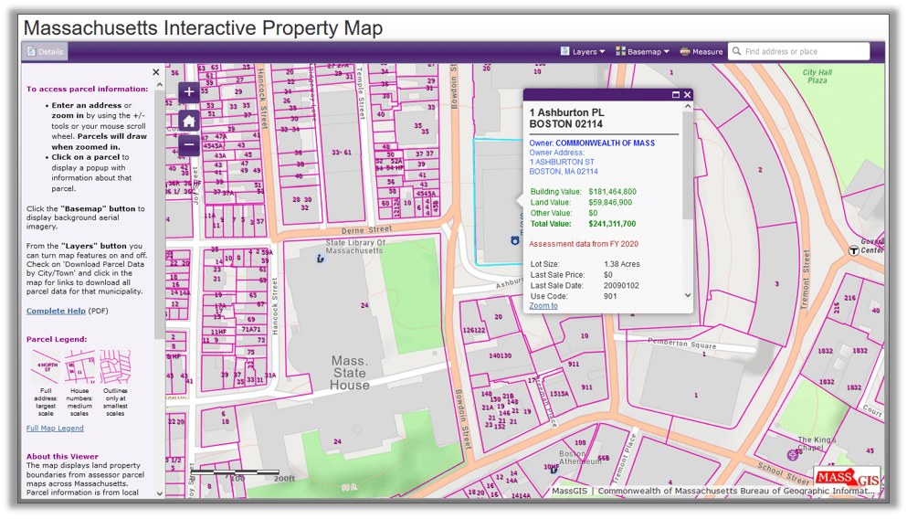
The Massachusetts Interactive Property Map, developed by MassGIS, enables developers, banks, realtors, businesses, and homeowners to view seamless property information across the Commonwealth.
One of a handful of such state-sponsored tools in the country, the ongoing effort is the product of MassGIS working with community assessors, their mapping consultants, and other stakeholders.
GISette Newsletter

The "GISette" is MassGIS' bi-monthly Newsletter. It features news, data updates, event information, and more.
Read our latest GISette and sign up to receive them by email.