Data Disclaimer - These data, metadata and related materials are considered to satisfy the quality standards relative to the purpose for which the data were collected. Although these data and metadata have been reviewed for accuracy and completeness and approved for release by the Watershed Planning Program, no warranty expressed or implied is made regarding the display or utility of the data on any other system or for general or scientific purposes, nor shall the act of distribution constitute any such warranty.
Data Dictionary
The data dictionary provides an explanation for each field presented in the Data Files, including any codes used.
Data Reporting Rules
WPP's data reporting rules that are used for results and other fields are described in this file.
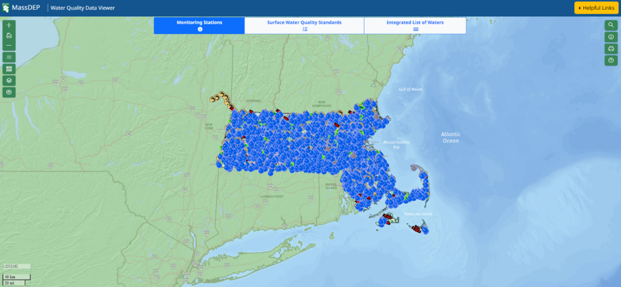
Water Quality laboratory data, 2005-2020
This file includes water quality sample data generated via laboratory analysis, including nutrients (e.g., nitrogen, phosphorus), color, turbidity, bacteria, dissolved metals and other parameters collected at monitoring stations throughout the Commonwealth. By WPP convention, one sample from each field duplicate pair is reported along with the regular (Routine) samples. Complete quality control data (e.g., field duplicates and field blanks) are available upon request.
Water Quality discrete probe data, 2005-2020
These data result from the use of hand-held instruments placed in-situ during station visits for parameters such as dissolved oxygen, temperature, pH, and specific conductance.
Water quality continuous probe statistical summaries for deployments, 2005-2020
This file includes basic statistical summaries of the continuously-logged data (e.g., averages, maximums, minimums, etc., based on 30-minute interval readings) collected during each probe deployment for dissolved oxygen, temperature and specific conductance, depending on the type(s) of probe used.
Water quality continuous probe statistical summaries for monitoring stations, 2005-2020
This file contains summary water quality information based on multiple deployments at each individual station in a given data year for dissolved oxygen, temperature and specific conductance, depending on the type(s) of probe used.
Water quality continuous probe data, 2005-2020 (available upon request)
These data are the individual, 30-minute interval water quality readings from continuous probes deployed for durations from a few days to several months at each location.
Biological data, 1983-2021 (available upon request)
These data are collected to assess aquatic life communities, including benthic macroinvertebrates and fish communities.
Mount Hope Bay marine buoy continuous probe data, 2017-2024
Seasonal monitoring in Mount Hope Bay provides water quality information for a sub-embayment of upper Narragansett Bay and contributes to the Narragansett Bay Fixed-Site Monitoring Network (NBFSMN).