- Division of Fisheries and Wildlife
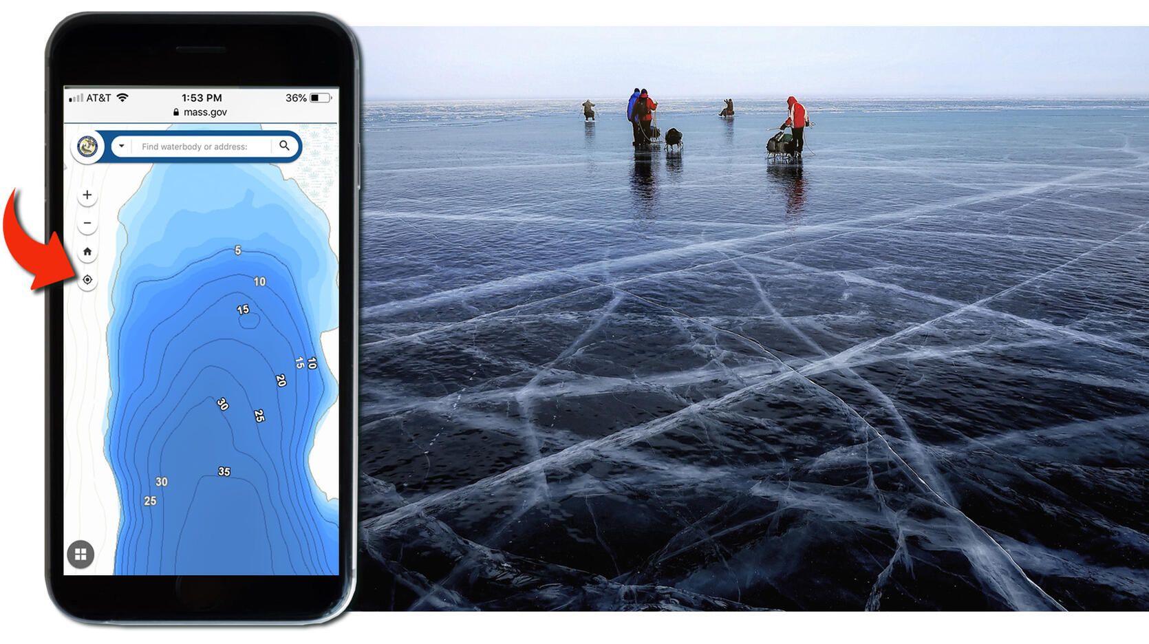
If you’re fishing on one of the 168 Massachusetts ponds with digital bathymetry (depth) information, you can use your mobile device to access a pond map and see this depth information in real time as you walk. Gone are the days of drilling a hole only to find you’ve hit a shallow, weedy area. By using the My Location feature on the Go Fish MA! digital map, you can target fish species based on depth. Jigging for perch? Find a depth where the fish are feeding and then follow that depth around the lake. Want to target bass or pickerel? Stick to flats or edges of drop-offs.
To get started:
- Launch the Go Fish MA! digital fishing map
- Use the filter tool at the bottom center of the map to narrow your search to show ponds with Digital Depth, then zoom in to see the bathymetry
- If you’re at a pond, click the My Location button (looks like a circle or crosshair, see image above) to show your movements in real time
Ponds without digital bathymetry still offer valuable information about the waterbody. Use the map to find pond map summaries for details about access and fish populations for that waterbody along with a pdf bathymetric map.
Always consider ice to be potentially dangerous, and review these ice strength and safety tips before you head out.
Let us know how we’re doing. Leave feedback about this map and its functionality at the bottom of the web page.