- MassWildlife's Natural Heritage & Endangered Species Program
- Division of Fisheries and Wildlife
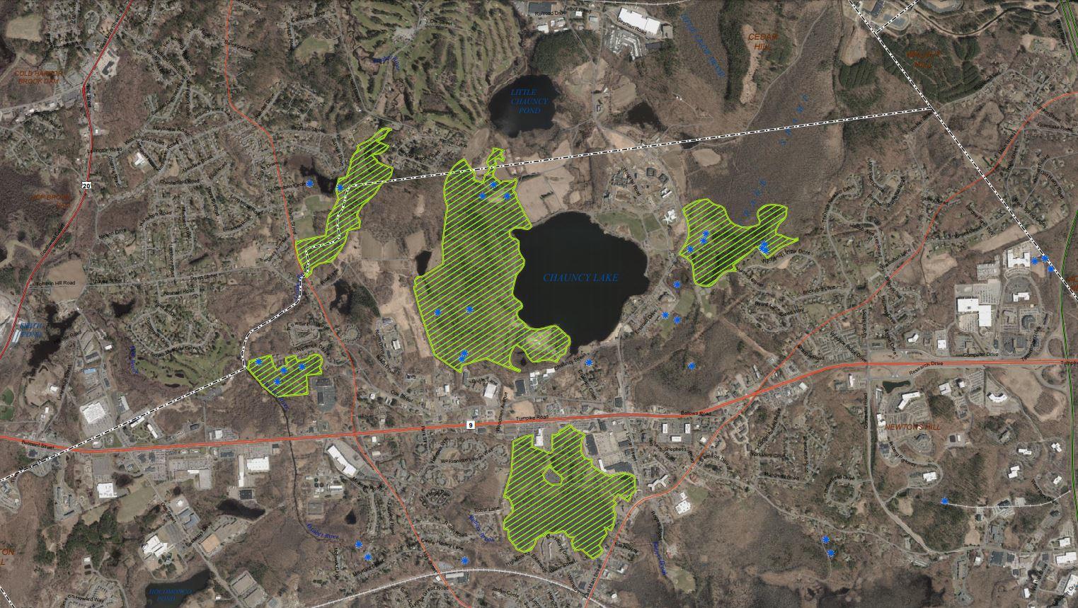
MassWildlife’s Natural Heritage and Endangered Species Program (NHESP) is announcing the availability of the 15th Edition Natural Heritage Atlas, on August 1, 2021. NHESP produces the Natural Heritage Atlas which represents the known geographic extent of habitat for rare plants and animals protected under the Massachusetts Endangered Species Act (MESA) and the Wetlands Protection Act (WPA). These maps are primarily used to determine whether a proposed project or activity must be reviewed by NHESP for compliance with the MESA and the WPA.
The maps in the Natural Heritage Atlas are based on occurrences—within the last 25 years—of MESA-listed species. These maps are re-evaluated every 4 years to reflect these observations, any changes to the MESA species list, an improved understanding of species biology and habitat requirements, and the utilization of improved mapping tools.
Access to Priority and Estimated Habitat maps is provided through a variety of sources:
- An interactive map viewer with address-matching capability is available online
- GIS datalayers for both Priority and Estimated Habitat can be downloaded from MassGIS (appropriate software required for use)
- Large-scale PDF maps for each Town containing Priority Habitat are available for download, viewing, or printing
- A large-scale town map may be purchased from NHESP
Links to the above resources can be found on MassWildlife’s website at:
mass.gov/info-details/regulatory-maps-priority-estimated-habitats