Description
Lower Mystic Lake is a 95-acre Great Pond located off of the Mystic Valley Parkway in Arlington and Medford. The lake is fed by the Aberjona River from the north and feeds the Mystic River through Lower Mystic Lake to the south. The eastern and southern shores fall within the Mystic Lakes State Park which features walking trails with lots of shore access.
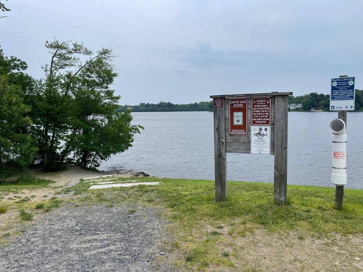
Recreational access
The Department of Conservation and Recreation (DCR) manages a gravel launch suitable for cartop boats off of the Mystic Lake Parkway on the northeastern shore (get directions). Only non-motorized boats are allowed. The shores of Lower Mystic lake can be accessed from the launch south along the eastern shore from foot paths in Mystic Lake State Park. Please contact DCR offices of Mystic Lake State Park for additional information, fee structure, and/or restrictions pertaining to public access of Lower Mystic Lake.


Fish populations
No fisheries sampling data exists for this lake.
Fishing
Not much is known regarding fishing within Lower Mystic Lake.
More fishing resources:
Stop aquatic hitchhikers
Prevent the transport of nuisance species; clean all recreational equipment. Visit ProtectYourWaters.net to learn more.