MyCoast: Massachusetts is an online portal developed for the Massachusetts Office of Coastal Zone Management (CZM) by Blue Urchin that allows the public to collect and share photos and observations online or using a mobile app. Reports submitted to MyCoast of extreme high tides, coastal storm impacts, and living shoreline projects help increase awareness of flooding, erosion, and other coastal hazards and help inform storm response and coastal management decisions. Please note: Coastal areas can be extremely dangerous during storms and flooding events due to moving water, waves, and debris, so be sure to monitor your surroundings and be safe when taking photos.
More About MyCoast
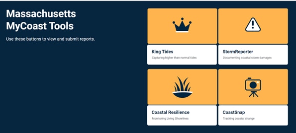
MyCoast: Massachusetts includes the tools below for collecting, sharing, and viewing photos and other information. To use these tools, please first register for an account.
- King Tides - The Massachusetts king tides initiative documents the effects of extreme high tides during new and full moons. The public is encouraged to submit photos, which are used in the analysis of coastal vulnerability and planning initiatives with municipalities. Please browse the hundreds of Massachusetts photos of king tide flooding of parks, roads, and neighborhoods.
- StormReporter - Launched in 2011 for the Massachusetts Rapid Response Coastal Storm Damage Assessment Team (Storm Team)—a network of trained state, federal, and local agency personnel led by CZM that covers the coast to collect and relay information on storm damage—this tool is used to record photos and observations of flooding, erosion, and damages to buildings and infrastructure. The public can also add photos of coastal storm damage in their communities. Explore the thousands of photos submitted for many coastal storms including Hurricane Sandy (2012), Winter Storm Nemo (2013), and the nor'easters of 2018. CZM originally partnered with the National Weather Service to make StormReporter operational for the Storm Team and then expanded the tool across New England with support from the Northeastern Regional Association of Coastal Ocean Observing Systems (NERACOOS).
- Coastal Resilience - This tool helps monitor living shorelines, which are nature-based approaches for shoreline management. It launched in 2017 to track shoreline restoration projects, such as fringing salt marshes and dunes, supported by CZM’s Coastal Resilience Grant Program. Local partners use the tool to document how projects are getting established and performing during coastal storms. The public can also assist with this effort, highlighting when maintenance is needed.
- CoastSnap - CoastSnap is an international network of simple camera mounts that invite the public to take a photo of a specific beach and share it to a website. In Massachusetts, Sea Grant has supported CoastSnap camera mounts, which are currently located at:
- Town Neck Beach East, Sandwich
- Town Neck Beach West, Sandwich
- State Beach, Oak Bluffs
- Cisco Beach, Nantucket
- Linnell Landing, Brewster
- Mariner's Memorial Way, New Bedford
- South Cape Beach, Mashpee
See the Sea Grant CoastSnap Community Beach Monitoring page for details. Photos submitted to MyCoast from these camera-mounts are available for viewing, including compiled time-lapse videos for selected sites.
See MyCoast: Massachusetts for details on how to share photos and observations, including instructions for downloading the free app to directly take and share photos, as well as instructions for sharing photos through the online browser from your computer or other device. Also see this YouTube presentation for more on the use of MyCoast in Massachusetts.