About the reef
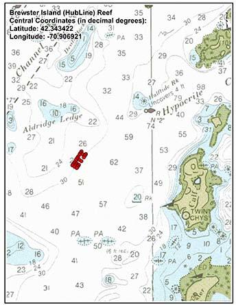
The Brewster Island reef is east of Lovell Island and south of the Hypocrite Channel. The Division of Marine Fisheries (DMF) built the reef in 2006 to provide mitigation for the biological impacts from the HubLine construction in Massachusetts Bay.
Also known as Hubline reef, the area consists of six rectangular modules with a variety of rocks arranged in three parallel arrays. These arrays are perpendicular to the current to promote larval transportation and food delivery to reef dwellers. The reef has three extra control plots for comparative monitoring. DMF designed the reef with the habitat requirements of invertebrate and finfish species in mind.
The entire footprint of the reef area 1.7 acres in size. The dimensions of the boulder area (0.59 acres) are twice the size of cobble reefs deployed in Boston Harbor.
Current status of the reef
DMF designed a structured monitoring program to test the project's success. The program characterized invertebrate and finfish populations on the reef. DMF continues annual monitoring efforts at this site.
Today you can find a variety of species on the reef, including;
- Black sea bass
- Blue mussel
- Cod
- Cunner
- Grubby
- Hake
- Jonah crab
- Lobster
- Longhorn sculpin
- Ocean pout
- Pipefish
- Pollock
- Radiated shanny
- Rock crab
- Rock gunnel
- Sea raven
- Sea scallop
- Shorthorn sculpin
- Skates
- Tautog
- Winter flounder