Tidal marshes (i.e., salt marsh and freshwater and brackish marshes influenced by tides) rely on their ability to accumulate sediment and organic matter to build elevation. If sea level rises faster than a marsh can build elevation, it will eventually drown, becoming mud flat or open water. To examine this issue, CZM—in partnership with the Woods Hole Group, Marine Biological Laboratory, Massachusetts Department of Fish and Game’s Division of Ecological Restoration, and Massachusetts Department of Environmental Protection—applied the Sea Level Affecting Marshes Model (or SLAMM) for the entire coast of Massachusetts. Funding support for this project was provided by the U.S. Environmental Protection Agency (EPA) and the National Oceanic and Atmospheric Administration (NOAA).
Massachusetts SLAMM Viewer
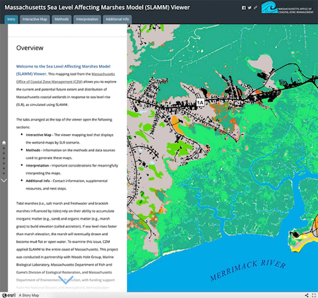
Massachusetts Sea Level Affecting Marshes Model (SLAMM) Viewer is an interactive, web-based mapping tool developed to explore the potential areal extent and distribution of coastal wetlands in Massachusetts as they respond to four different sea level rise scenarios over time. The viewer also provides an overview of the methods and data sources used to run SLAMM, along with important considerations for interpreting the map data.
Report on Modeling the Effects of Sea Level Rise on Coastal Wetlands
Modeling the Effects of Sea Level Rise on Coastal Wetlands (PDF, 20 MB) is a report that details the SLAMM modeling approach, identifies data gaps and limitations, summarizes results at multiple scales, and provides recommendations for improved simulations. The report was prepared for CZM in 2016 by Woods Hole Group with technical support from CZM, Marine Biological Laboratory, and other partners.
Marsh Migration Corridors (under development)
CZM is in the process of identifying and characterizing marsh migration corridors throughout Massachusetts. These corridors are typically areas adjacent to salt marsh (either dry land or wetlands other than salt marsh) that have the potential to convert to salt marsh as sea level rises.
Additional Information
Information used to inform the Massachusetts SLAMM project includes:
- Marsh Equilibrium Model (MEM) - This website of the Baruch Institute of Marine and Coastal Science, University of South Carolina, provides an online version of MEM 3.4. MEM is a salt marsh model developed by James Morris and used for this project to provide inputs on accretion (a component of surface elevation change) for SLAMM. It was applied for the Great Marsh/Upper North Shore project area only, which also received the statewide accretion input in the statewide application of SLAMM (i.e., historical sea level trend per NOAA tide station). MEM 5.41, a desktop application, was used to develop data for this project.
- Global Sea Level Rise Scenarios for the United States National Climate Assessment - This publication was developed by Parris et al. in 2012 to support the US National Climate Assessment. The four sea level rise scenarios used in the Massachusetts SLAMM project correspond to the global scenarios presented here, adapted for local conditions.