Deer Management on DWSP Land
Forest regeneration is the process of renewing tree cover by establishing a new crop of younger trees that will eventually take the place of the older trees. This is one of the fundamental and most important elements of sustainable forest management.
Successful regeneration is crucial to maintaining a healthy, productive forest that not only provides ecological services and maintains biological functions but can also be resilient to environmental stressors such as insect pests, weather events, and diseases. DWSP Foresters have historically identified significant impacts on these young forests by white-tailed deer. Deer eat the leaves, twigs and buds of woody plants such as trees and shrubs. This food is collectively known as “browse”. Browse is an important part of what deer eat, especially during the winter months when food is hard to come by.
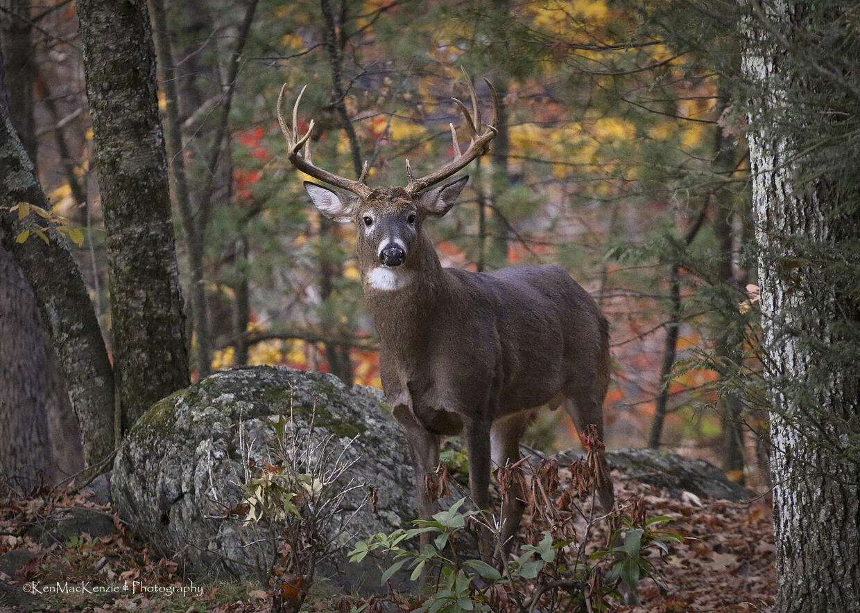
Photo courtesy of Ken MacKenzie
Deer densities above a certain threshold have an impact on tree regeneration, diversity and growth. Knowledge about deer populations, and the forest regeneration impacts show that deer hunting is necessary to maintain a diverse, multi-age and resilient watershed forest, therefore deer hunting is now allowed on most areas of all four watersheds. Deer hunting may be permitted during all legal seasons, or it may be designated during the two-weeks of shotgun season or during two-day controlled hunts. Please go to the DWSP Hunting map for more information about where deer hunting is permitted.
Deer Hunt Summaries and Surveys
Turkey Hunting on Watershed Lands
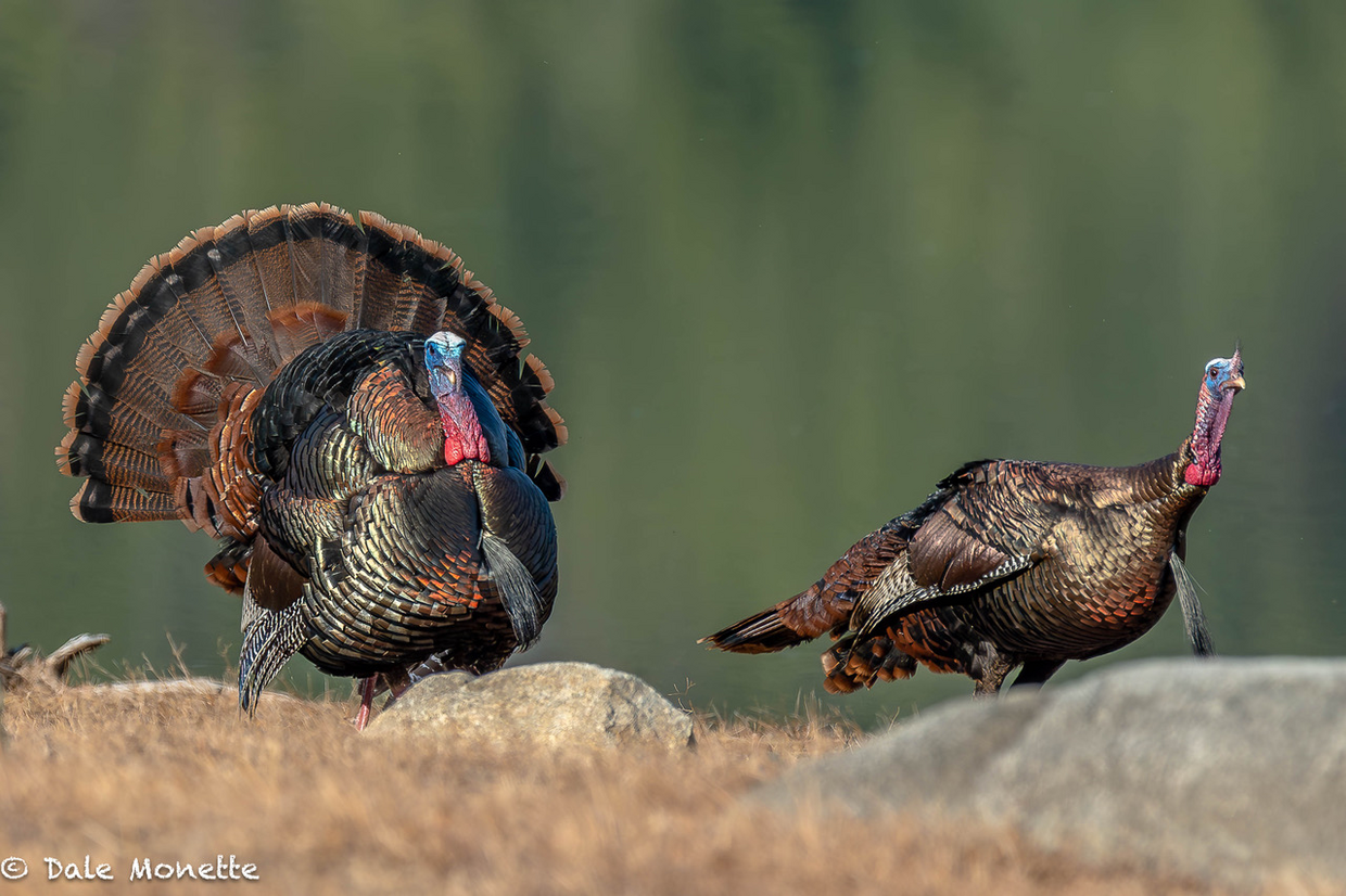
Photo courtesy of Dale Monette, North Quabbin Photography
Designated DWSP Watershed lands are open for turkey hunting with a 5-year Watershed Hunting Permit during the Spring and Fall seasons.
Waterfowl Hunting on Watershed Lands
Watershed protection regulations, 313 CMR 11.00, prohibit bodily contact with surface waters on most waterbodies in the watersheds. This restricts the ability of a hunter to retrieve his or her game. Therefore, in most cases, waterfowl hunting is not allowed on DWSP property. However, there are some limited opportunities to waterfowl hunt on DWSP property. Please visit the DWSP Hunting Map for these locations.
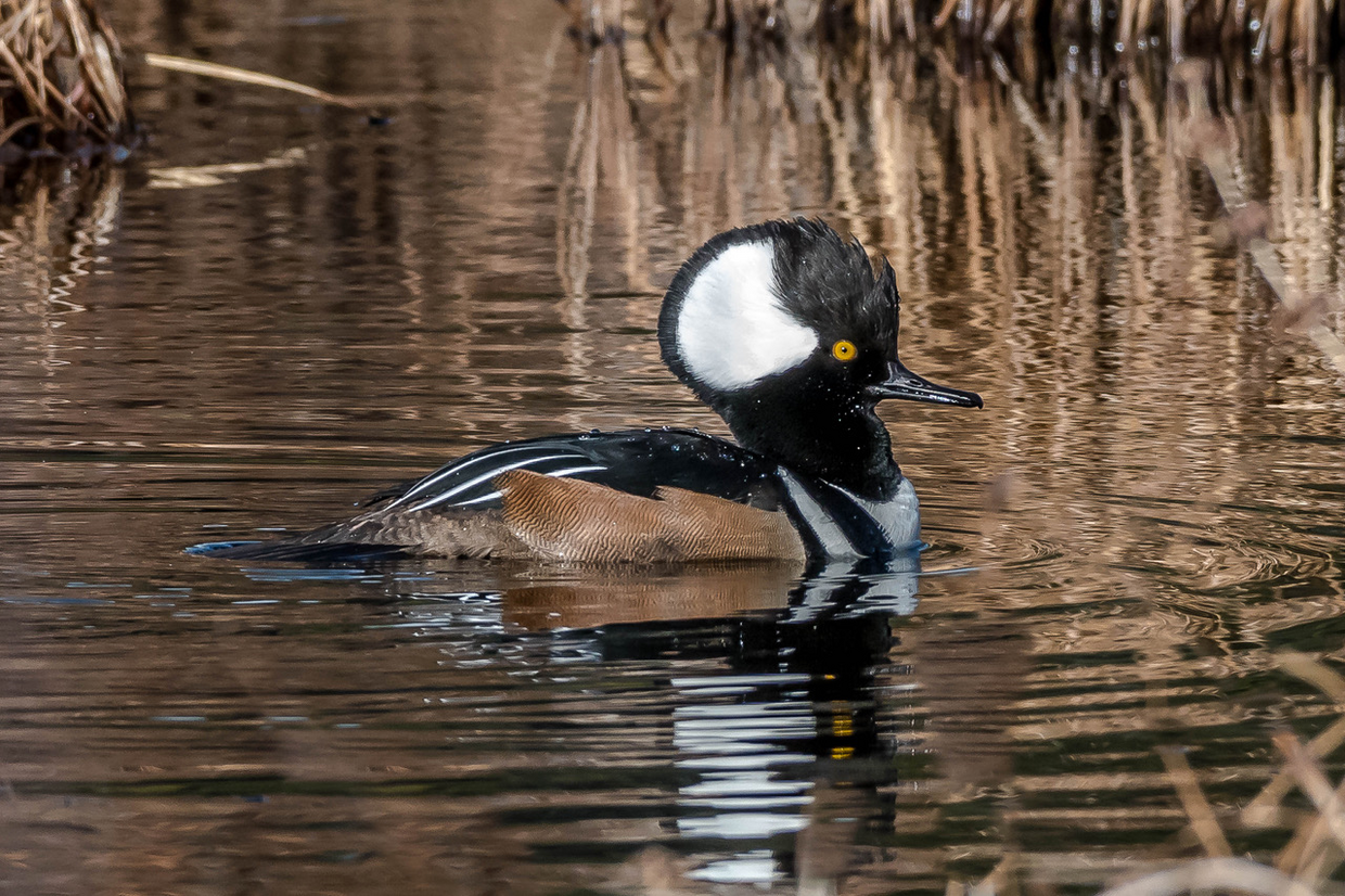
Hooded Merganser, Photo courtesy of Dale Monette, North Quabbin Photography
Things To Know
- Access permits are required for all hunting and trapping on DWSP’s properties.
- There is NO fee for this permit.
- Hunters must apply for a permit online and provide a valid email address.
- All permittees MUST have a copy of their permit on them at all times.
- Hunters/trappers must possess a valid Massachusetts Hunting or trapping License.
- Some DWSP properties are currently for deer hunting only. See Hunting map for details.
- Access on DWSP property is one hour before sunrise to one hour after sunset. This will be strictly enforced.
- Parking is allowed in designated areas only. Do not block gates. Subject to fine or tow.
- Use of tree stands is permitted. Allowed 30 days prior to the Deer Hunting season and must be removed within 30 days after the hunting season. All tree stands must be visibly labeled with Permit Number.
- Much of DWSP property borders private property. Please be respectful of our neighbors while hunting on DWSP property. Do not block driveways or park on their property without permission.
Hunting Map
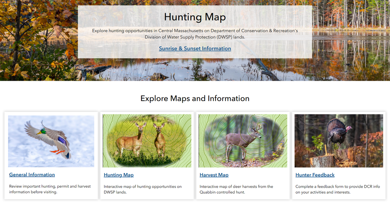
DWSP has developed a user-friendly interactive Hunting Map with information about hunting and trapping areas on DWSP property.
This expertly detailed, interactive map shows everything you need for hunting on DWSP property. Features include parking areas, access points, topographic contours, water bodies/wetlands, fields, recent timber harvests, hunting setbacks, road types and road names. You can also filter DWSP property to find places where hunting/trapping is allowed, where dogs can be used, what type of permit is needed and what game you can hunt. This map also can show you where previous deer harvests have been and what was harvested (Quabbin Deer Harvest tab).
You can use this map in two ways. You can begin scouting from the comfort of your home on your desktop computer and identify areas you want to scout in the field. You can then print a custom map from this webpage and bring it into the field. Additionally, you can open the map on your smartphone’s web browser in the field and see your real-time location on the map.
Click here to open the DCR-DWSP Hunting Map.
NO Service, NO Problem- Take the DWSP Sportsman Map with you!
Using the free app – ArcGIS Field Maps (iPhone or Google Play)– you can download a copy of the Hunting Map to take in the woods with you on your mobile device. This is great when you are hunting somewhere remote with no cell service. Click here for Instructions for Using DCR Division of Water Supply Protection's Deer Hunt Interactive Maps on a Mobile Device.