Downloads
Overview
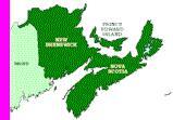
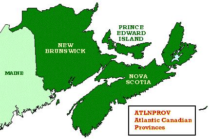
This datalayer represents the general boundaries of the eastern Canadian provinces, including Nova Scotia, New Brunswick, and Prince Edward Island. The Massachusetts Department of Fisheries and Wildlife GIS program obtained the dataset from Environment Canada's GIS office. The layer was projected to the Massachusetts State Plane Mainland coordinate system, NAD83 datum, units meters, for use with all other MassGIS data.
The layer is named ATLNPROV_POLY in ArcSDE.
Please note that the layers are general in nature and are distributed only for small-scale plotting purposes.
Attributes
The polygon attribute table contains the following items:
| Field name | Description |
|---|---|
| SQMILES | Area of polygon in square miles |
| LAND | 0 = Water bodies 1 = Land areas |
| PROVINCE | Province name |
Maintenance
MassGIS is maintaining these layers.