Downloads
Overview

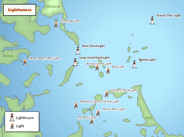
These data show the locations of all extant lighthouses and lights along the coast of Massachusetts. While many of the lighthouses represented are active aids to navigation maintained by the United States Coast Guard, others are not and are maintained privately. All lighthouses are shown in their current positions and may have been moved from their original locations. The layer was produced by the Massachusetts Office of Coastal Zone Management (CZM). MassGIS stores this layer in ArcSDE (Oracle) as LIGHTHOUSES_PT.
Production
In the original 2006 production process, lighthouse names and general locations were compiled from the following two websites: National Park Service, Maritime Heritage Program and the United States Coast Guard, Historic Light Station Information & Photography: MASSACHUSETTS. Since most lighthouses serve as survey control stations maintained by National Geodetic Survey, individual lighthouses were geographically located by plotting their coordinates in GIS. For those lighthouses that do not serve as survey control stations, their geographic location was determined by "on screen digitization" of the most large-scale NOAA chart for the region. These latter points were then overlaid on the 2001 Massachusetts color ortho imagery. When the digitized point and the the location of the lighthouse on the ortho photo differed, the point was moved to match the ortho photo. All points were given a final check by comparing their locations to the ortho photos. In the December 2009 update, several edits were made to the lighthouses originally included in this dataset (currently "TYPE" = "Lighthouse"): The Cape Poge (Pogue) Light point was moved to match its location on the MassGIS 2001 ortho imagery. The Nantucket Cliff Range light was relocated to match its location on the MassGIS 2001 ortho photos, and a second beacon that is part of the range lights was also added. Clark's Point Light, a lighthouse included on the U.S. Coast Guard Historic Light Station Information & Photography: MASSACHUSETTS website, was added to the dataset: Dumpling Rock Light and Ipswich Range Light (Rear Range), two deactivated lighthouses that have been replaced by lights on skeleton towers and are included on the U.S. Coast Guard website, were mapped and added to the dataset. Several lighthouses were renamed to match the names on the Maritime Heritage Program and/or Coast Guard websites: "Great Point Light" was renamed "Great Point (Nantucket) Light." "Front Range Light" was renamed "Newburyport Harbor Range Light (Front Range)." "Rear Range Light" was renamed "Newburyport Harbor Range Light (Rear Range)." The NRHP attribute, an attribute describing whether or not a feature is listed on the National Register of Historic Places, was added. The National Park Service Maritime Heritage Program website and/or the National Register of Historic Places database were used to fill out this field. Also as part of the December 2009 update, lighthouses identified by the Geographic Names Information System (GNIS) that appear on NOAA charts and were not previously part of this dataset were mapped and added. Several of the GNIS points were moved to align with the light location on a NOAA chart or MassGIS 2001 ortho photo. The "TYPE" attribute was added to identify the light stations that were added from the GNIS dataset ("TYPE" = "Light"). All other features that were part of the previous version of this dataset were given a "TYPE" attribute of "Lighthouse." Because only those lights from GNIS that appear on NOAA nautical charts were included, it was assumed that all of the GNIS points were active aids to navigation (attribute: USE). A value of "n/a" was given to the lights added from GNIS for the NRHP attribute. CZM did not check to see if these lights were listed on the National Register, but it is highly likely that they are not listed., as most are simply steel skeleton towers topped with a stationary flashing light.
Attributes
The layer's point attribute table contains the following items:
| Field name | Description |
|---|---|
| LOCATION | A brief verbal description of the lighthouse's location; e.g. "Cape Cod / Nauset Beach." |
| NAME | The lighthouse's name as given by the National Park Service |
| CONTROL | Indicates whether or not ("yes"/"no") the location data were derived from National Geodetic Survey data |
| USE | The lighthouse's current use |
| NRHP | Lighthouse's status on the National Register of Historic Places |
| TYPE | Type of light station: LIGHTHOUSE - points from the 2006 version of this layer, mostly "traditional" building-style structures LIGHT - steel skeleton structures with stationary flashing lights; from the GNIS database |
Maintenance
These data were updated in December 2009 to include lights identified by the Geographic Names Information System (GNIS), as well as other edits described above.
CZM will provide any updates to MassGIS.