Overview
These datalayers represent the municipal boundaries of the five states that border Massachusetts, plus those of Maine. The following list describes the original source and scale of the data and how MassGIS obtained them:
- Connecticut: USGS 1:24,000 Topographic Quad maps, obtained from CT Dept. of Environmental Protection Natural Resources Center.
- Maine: USGS 1:62,500 Quad series, obtained from ME Dept. of Conservation in 1990. See the Maine Office of GIS for current resources.
- New Hampshire: 1:250,000 statewide manuscript, obtained from NH Granit (NH state GIS program) in 1990.
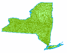
- New York: NY State Office of Real Property Services, obtained from NH Granit office.
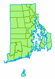
- Rhode Island: USGS 1:24,000 Topographic Quad maps, obtained from RIGIS (Rhode Island GIS) in 1989.
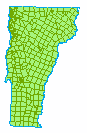
- Vermont: USGS 1:250,000 maps, obtained from Vermont Office of GIS
All six states' data were projected to the Massachusetts State Plane Mainland coordinate system, NAD83 datum, units meters, for use with all other MassGIS data. Please note that the layers vary in quality and are distributed for use only in regional mapping.
Attributes
Each layer has a polygon attribute table and/or an arc attribute table. The items for each are as follows:
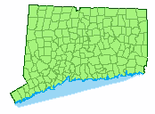
Connecticut
Download Connecticut shapefile
CTTOWNS_ARC:
FEATURE - 1 = State Boundary, 2 = Coastline, 3 = Ocean closure line, 10 = Boundary between towns in or out of the Connecticut River Basin, 11 = Town Boundaries (within CT River Basin), 12 = Town Boundaries (not within CT River Basin)
CTTOWNS_POLY:
TNA - Town name
FEATURE - Towns in the Connecticut River Basin = 1, outside of basin = 0
ACRES - Area of town in acres
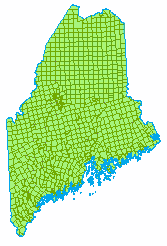
Maine
METOWNS_ARC:
OUTLINE - 0 = Internal town boundaries, 1 = State outline
METOWNS_POLY:
COUNTY_ID - Maine County ID
TOWN_ID - Maine Town ID
TOWN - Town name
ALT_ID - Alternate TOWN ID
CODE -
LURC -
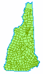
New Hampshire
Download New Hampshire shapefile
NHTOWNS_ARC:
OUTLINE - 0 = Internal town boundaries, 1 = State outline
NHTOWNS_POLY:
FIPS - Federal Information Processing Standard Census code
NAME - Town name
New York
NYTOWNS_ARC:
SYM - 41 = County and state boundaries, 65 = Internal town boundaries
OUTLINE - 0 = Internal town boundaries, 1 = State outline
NYTOWNS_POLY:
LABEL - Town name
SWIS - Unique New York State municipality identification code
Rhode Island
Download Rhode Island shapefile
RITOWNS_ARC:
OUTLINE - 0 = Internal town boundaries, 1 = State outline
COAST - 0 = Inland boundaries, 1 = Coastline
RITOWNS_POLY:
NAME - Town name
OSP_CODE - Unique town identifier
TFIPS_CODE - Town FIPS (US Census) code
CFIPS_CODE - County FIPS (US Census) code
COUNTY - County name
LAND - Land feature (1 = land, 0 = water)
Vermont
VTTOWNS_ARC:
TBLINE - 1 = State outline, 2 = County boundaries, 3 = Internal town boundaries (non-county)
VTTOWNS_POLY:
VTTOWN_ - Unique town identifier
FIPS - US Census FIPS Code
TOWNNAME - Town name
RPC - Regional Planning Commission Abbreviation
Maintenance
As stated above, MassGIS distributes these layers for use in regional mapping and does not maintain or update them. For web links to each state's GIS program, please see the Contacts page.
| Last updated: | January 1, 1998 |
|---|