Downloads
Overview
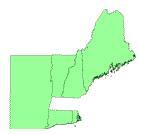
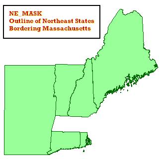
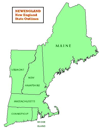
These datalayers represent the outlines of the states bordering Massachusetts, plus that of Maine. The layer names are as follows.
NEMASK_POLY - "Mask" around the Massachusetts border, for plotting purposes

NEWENGLAND_POLY - Outlines of the New England States
Both layers were projected to the Massachusetts State Plane Mainland coordinate system, NAD83 datum, units meters, for use with all other MassGIS data. Please note that the layers are general in nature and are distributed only for plotting purposes.
Attributes
The items for each polygon layer are as follows:
NEMASK_POLY:
STATE_NAME - Full name of each state:
(Connecticut , Maine, New Hampshire, Rhode Island, Vermont, New York)
NEWENGLAND_POLY:
FIPS - State FIPS (US Census ID)
NAME - State name
ACRES - Total state acreage
Maintenance
MassGIS maintains these layers. Long Island was added to the NEMASK_POLY layer in February 2003.
In September, 2007, the NEMASK_POLY layer was dissolved to produce multi-part polygons (one for each state); in addition, the TYPE item was dropped and the STATE_NAME item was added.