Downloads
Includes ESRI Shapefile, with ArcGIS 10 LYR
To use the HSIP symbology (in ArcGIS 9x and 10x), see README_Police_Stations_HSIP.txt
Overview

The Massachusetts Emergency Management Agency (MEMA) GIS Program in cooperation with the Regional Planning Agencies and participating communities created the original data as part of the development of Homeland Security Data Layers. MassGIS has since incorporated updates into the data.
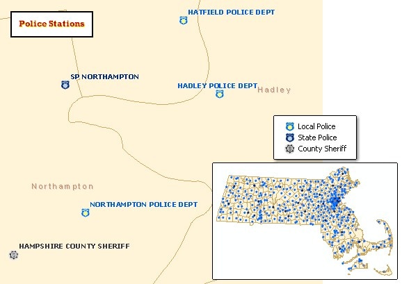
The features represented include municipal police stations and Massachusetts State Police barracks. Although sheriffs are not technically charged with the same law enforcement tasks as local and state police, county sheriff headquarters are also included in this layer. The duties of the sheriffs include the management and operation of regional correctional systems and transportation of prisoners, service of judicial process and delivery of legal documents needed to support the operation of the courts, community policing, running various outreach services, and the enforcement of laws enacted for the public safety, health and welfare of the people. Not included in this layer are Environmental Police, campus police and various state and federal level law enforcement locations.
Stored in the ArcSDE, the statewide layer is named POLICESTATIONS_PT_MEMA.
Production
MEMA GIS staff used a contacts database updated with MASS.GOV data to geocode the station addresses using ArcGIS. The layer points were updated based on regional planning agency data (see attribute L_SRC for more detail). MEMA GIS and MassGIS staff reviewed for completeness and accuracy using oblique ("bird's eye") imagery, ortho imagery, parcel databases, and department web sites and by calling towns. Horizontal accuracy of the points is 1:5,000 or better.
Attributes
The layer's point attribute table contains the following fields:
| Field name | Description |
|---|---|
| NAME | Name of facility |
| ADDRESS | Address of facility |
| CITY | Municipality in which facility is located |
| ZIP | Facility ZIP Code |
| JURISDIC | Jurisdiction of law enforcement officials: LOCAL - Municipal or local police STATE - Massachusetts State Police COUNTY - County Sheriff officers |
| L_SRC | Location source |
| SOURCE | Attribute source |
| L_DATE | Location date |
Maintenance
MassGIS conducted a complete review of every location in May 2022 by researching websites for the address of the police station. 63 changes were made because the station moved to a new location. The Town of Wendell's station was removed, as Leverett now responds to Wendell police calls.
MassGIS corrected the location and updated the addresses of several points in December 2014. In the spring of 2014 the Executive office of Energy and Environmental Affairs updated 74 points. MassGIS reviewed EEA's work and made additional edits in the fall of 2015. As part of EEA's and MassGIS' update process, many points were moved atop buildings as seen in the most current ortho imagery. Level 3 Parcel data and local police websites were often used as references in placing points.