Overview
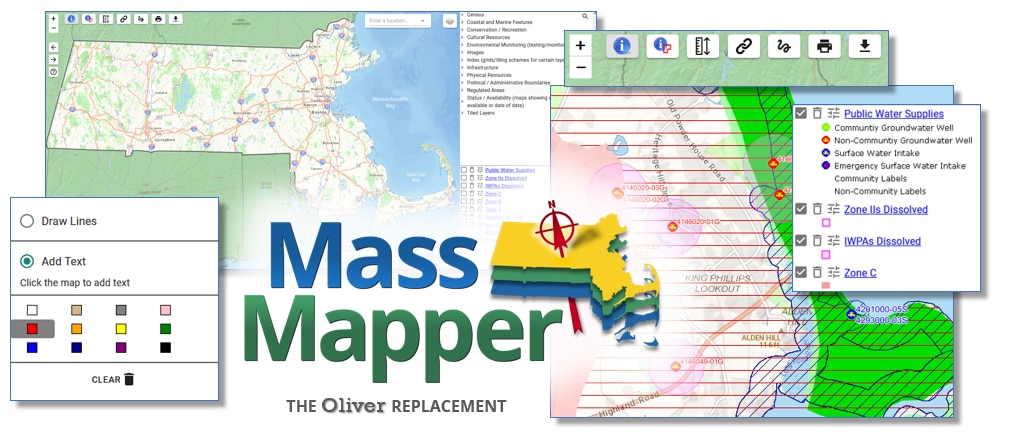
With MassMapper, users can choose from hundreds of map layers to create a map most relevant for their needs. MassMapper not only displays the map information, but also allows users to query for information about individual features on the map. The user-friendly interface also includes tools for drawing on or adding text to maps. You can save and print PDFs of maps you create.
Use MassMapper
MassMapper is MassGIS's flagship interactive map. Use this to access virtually all MassGIS map layers and to view descriptive information about the features on the map.
New 7/17/2025: MassMapper Enhancements
MassMapper: A Tool to Find and Download GIS Data - presentation at Harvard 11/5/2024
MassMapper Survey Results
In 2023 MassGIS conducted a survey of MassMapper users to identify potential enhancements. Review a StoryMap of MassMapper survey results.
