In 2021, the Massachusetts Bays National Estuary Partnership (MassBays) and the Massachusetts Office of Coastal Zone Management (CZM) received funding through the National Oceanic and Atmospheric Administration (NOAA) Project of Special Merit grant program to assess different methods of mapping eelgrass.
Project Overview
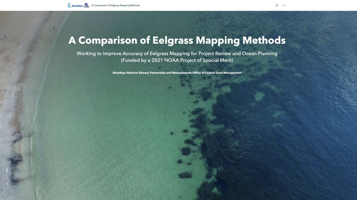
Eelgrass (Zostera marina) is a marine meadow-forming plant that provides critical fisheries habitat, improves water quality, stores carbon, and protects the shoreline from storms. To properly manage and protect eelgrass, accurate mapping information is needed to track the location and size of meadows. Several remote sensing methods—such as satellites, airplanes, drones, and underwater side scan sonar—provide imagery that can be analyzed for eelgrass, but little is known about the accuracy and limitations of maps generated from these sources.
To address this issue, MassBays, CZM, and other project partners undertook an 18-month study to compare different remote sensing methods against SCUBA diver surveys to determine how well each method detects the eelgrass meadow’s edge and at what eelgrass densities each method performs best.
Story Map Details
The story map offers descriptions, maps, photographs, videos, and slideshow features of the eelgrass mapping project. Topics covered include: a brief overview of the project, the significance of eelgrass, sites selected, data collection methods, field work, procedures for data analysis, results, and discussion and management recommendations.
Launch A Comparison of Eelgrass Mapping Methods Story Map to begin your exploration.