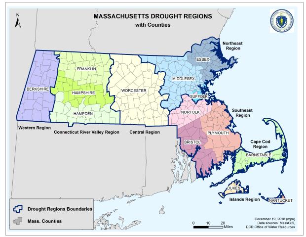
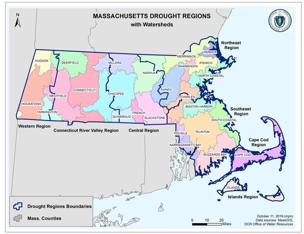
This state is delineated into seven Drought Regions to allow flexibility and customization of drought declarations and response actions for different areas within the Commonwealth. The Drought Regions represent broad geographic areas, originally based on precipitation patterns, which have been refined along their boundaries to align with county boundaries. County alignment facilitates more streamlined communication and response when droughts occur.
This table shows the counties corresponding to each of the seven regions. For maps and a list of towns by drought region, go to Additional Resources below., and for additional details on drought levels, drought indices and methodology, drought determination and actions, go to the Massachusetts Drought Management Plan.
Table. Counties within Each Drought Region
|
Drought Region |
County(ies) |
|
Western |
Berkshire |
|
Connecticut River Valley |
Franklin, Hampshire, and Hampden |
|
Central |
Worcester |
|
Northeast |
Essex, Middlesex, and Suffolk (plus town of Brookline) |
|
Southeast |
Bristol, Plymouth, and Norfolk (minus town of Brookline) |
|
Cape Cod |
Barnstable |
|
Islands |
Nantucket and Dukes (includes Elizabeth Islands) |
Additional Resources
Contact
Online
Phone
Open M-F 9am-5pm