
Description
East Brimfield Reservoir is a 152-acre impoundment of the Quinebaug River located off of Rt. 20 in Brimfield and Sturbridge. East Brimfield Reservoir has an average depth of 7 feet, a maximum depth of 21 feet and aquatic vegetation grows dense as the summer progresses. The majority of the immediate shoreline is owned by the US Army Corps of Engineers, is managed for flood control and is undeveloped.
Recreational access
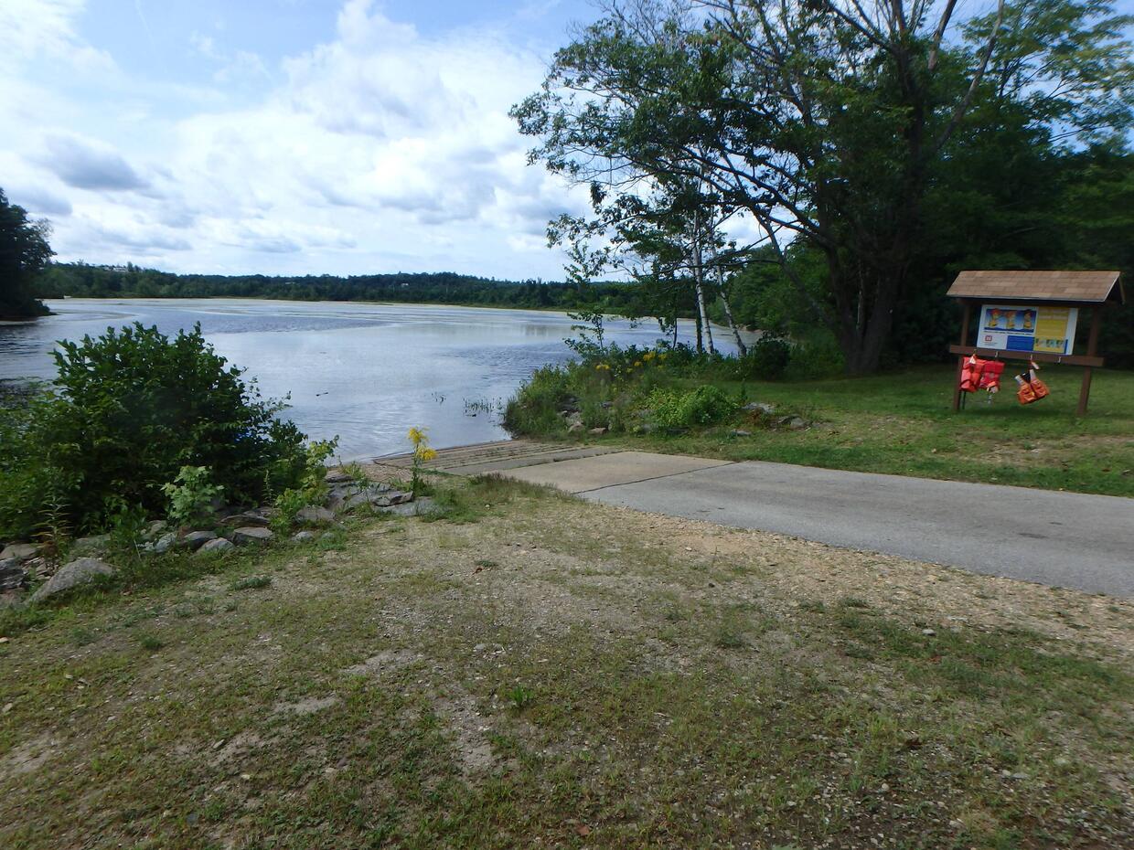
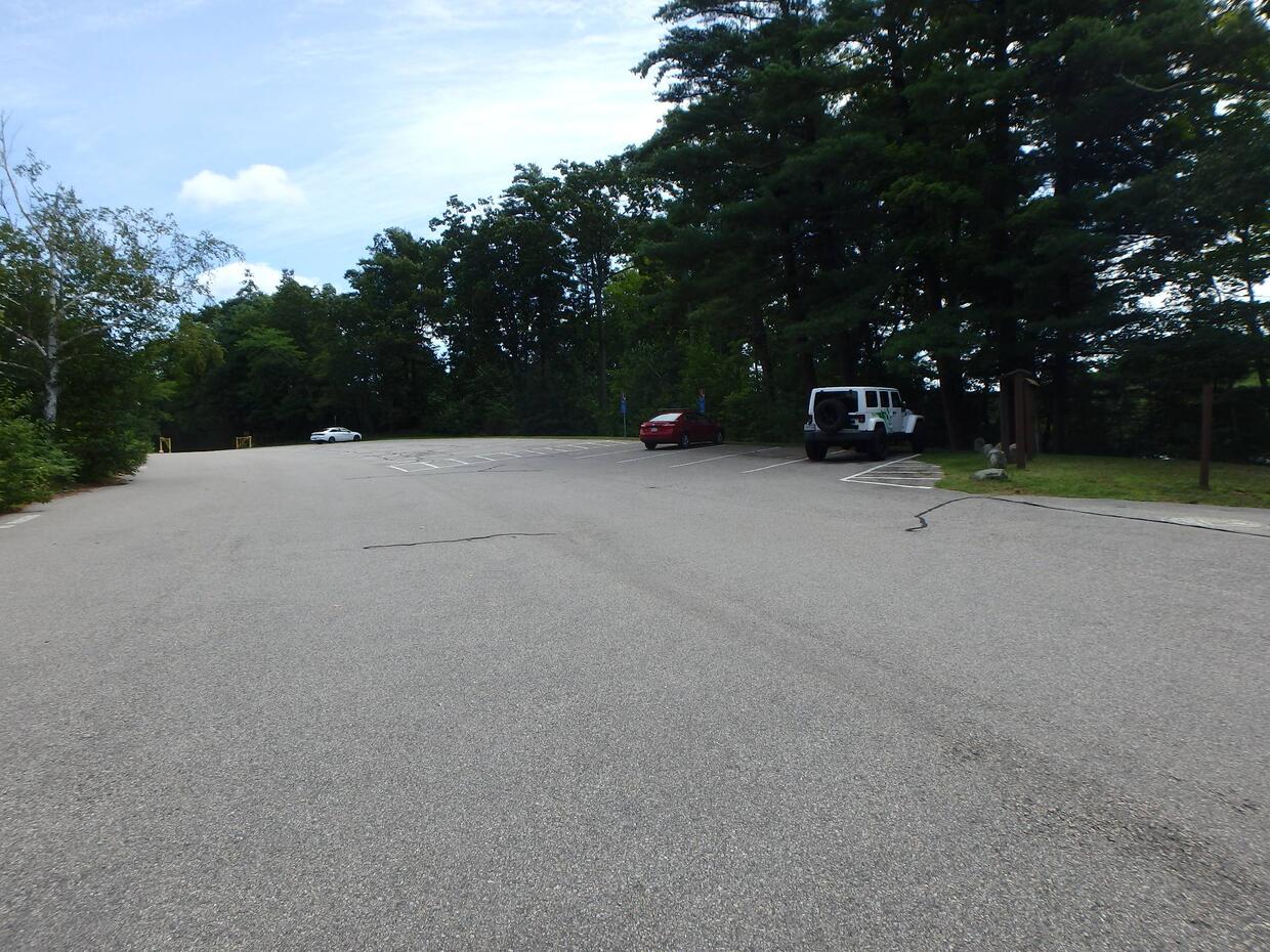
the US Army Corps of Engineers manages a concrete boat ramp suitable for trailered craft off of Rt. 20 in the middle of the northern shore (get directions). Parking at the ramp is ample and shore fishing is possible in areas around the ramp and in more distant areas via trails on Army Core lands. One may also park at the end of Riverview Ave. by the dam and access the shore via walking paths (get directions). Please contact the New England District offices of the US Army Corps of Engineers for additional information, fee structure, and/or restrictions pertaining to public access of East Brimfield Reservoir.
Fish populations
The following fish species were found during MassWildlife surveys:
- largemouth bass
- chain pickerel
- yellow perch
- black crappie
- pumpkinseed
- bluegill
- white sucker
- yellow bullhead
- brown bullhead
- golden shiner
Fishing
East Brimfield Reservoir has produced largemouth bass, northern pike, chain pickerel and black crappie that meet the minimum requirements for size to be recognized by the Freshwater Sportfishing Awards Program.
More fishing resources:
Stop aquatic hitchhikers
Prevent the transport of nuisance species; clean all recreational equipment. Visit ProtectYourWaters.net to learn more.