Downloads
Overview
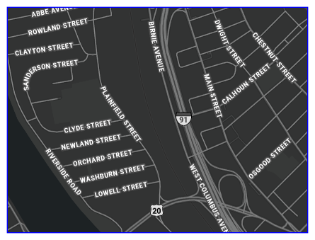
Statewide "Base" street centerline data (spatial view) that includes the linework MassGIS maintains as part of the Master Address Database project. This view contains the linear spatial features and functional classification code from MAD.MAD_BASE_STREET_ARC, and street name (from the MAD.MAD_BASE_RANGE_VARIANTS table).
MassGIS received the data from HERE (formerly Navteq) as part of a former data partnership. MassGIS now owns the linework and the attributes included in this view. The HERE product contained what it called "Base" address ranges -- buffered out to the nearest 99, so, for example, an actual address range of 2-17 is represented as 1-99, 2-98 in the Base ranges.
The Master Address Database is the source of the geographic information used in the Next Generation 9-1-1 (NG911) system. Streets are used in conjunction with address points and participate in both geocoding and reverse geocoding functions. These layers help to direct the call to the most appropriate call answering center and assisting emergency responders in getting to the location as quickly as possible. Additionally, streets and their respective ranges are used for validating customer addresses for service providers in the Commonwealth.
This view is the source for a cached tile layer MassGIS hosts at ArcGIS Online.
The name of the spatial view in MassGIS' enterprise geodatabase is MAD.MADV_MASSGIS_STREET_LABEL.
Production
MassGIS updates the streets data daily in response to address updates from municipalities and the changes are usually additions to the street network. Linework is also occasionally updated to move street arcs closer to the center of rights-of-way or merge arcs where no intersection exists.
Originally, MassGIS worked closely with HERE to synchronize street names with the Master Street Address Guide (MSAG). The MSAG was the official street list used in the Enhanced 9-1-1 system, the predecessor to the current NG911 system, and this list was considered authoritative. While the MSAG was very good, the list tended to be biased towards 9-1-1 function and included some error. Since 2014 MassGIS staff have been working to correct street misspellings and remove erroneous names.
Attributes
The polygon layers contain these fields:
| Field name | Description |
|---|---|
| FUNCTIONAL | Functional classification: 1,2 - Limited Access Highways 3 - Other Highways 4 - Major Roads, Collectors 5,6,7,8,9,0,Y,<null> - Minor Streets |
| STREET_NAM | Street name. May include names or a route number. In cases where a named street is also a designated route(s), multiple, coincident ("stacked") lines are present, each with a different street name value. |
Maintenance
MassGIS maintains these layers and will make updates as needed.
Last Updated 5/18/2022