Downloads
Overview
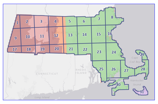
See Latest and Best Quality Lidar Terrain Data page for information on the DEMs and links to download them.
The layer is named LIDARINDEX_DEMMOSTILES_POLY.
Maintenance
MassGIS maintains this layer and will update it as needed.
| Date published: | September 27, 2023 |
|---|---|
| Last updated: | September 27, 2023 |
