Downloads
Overview

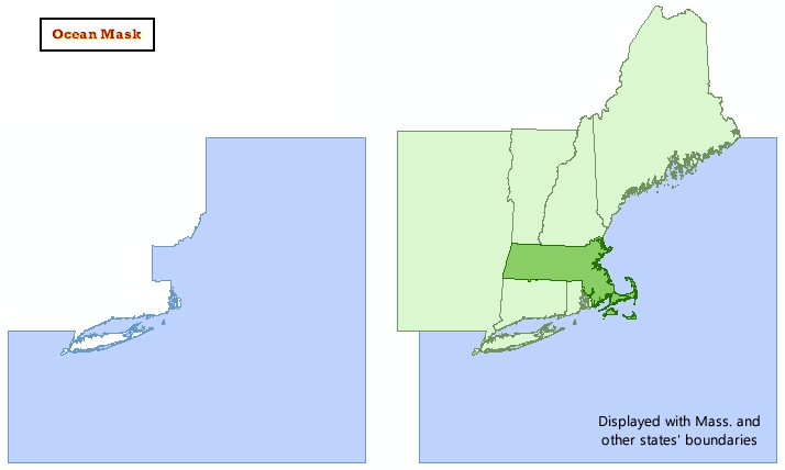
This datalayer represents an ocean "mask" polygon layer for Massachusetts and bordering states, including Long Island, NY. The layer was created by MassGIS for cartographic display purposes. The coastlines of the surrounding states were extracted from the NEMASK_POLY layer (see New England Boundaries ). The Massachusetts coastline is not included, allowing users to display any of the Massachusetts' state and town boundary files (which have various coastlines) atop this ocean layer.
In ArcSDE the dataset is named OCEANMASK_POLY.
Maintenance
MassGIS is maintaining the datalayer. No updates are planned.