
Description
Santuit Pond is a 176-acre enlarged great pond with an average depth of 6.5 feet and a maximum depth of 11 feet. The bottom is predominantly sand overlain with muck, with some areas of gravel and rubble. The pond is groundwater fed and forms the headwaters of the Santuit River (also known as the Cotuit River). The 3.6 miles of shoreline are moderately developed with homes and cranberry bogs and is generally steep and wooded.
Recreational access
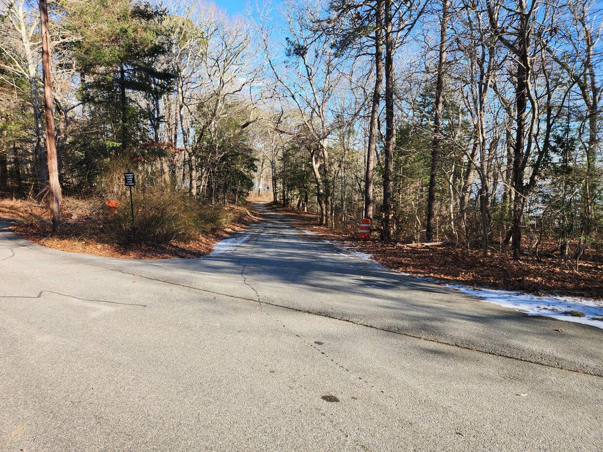
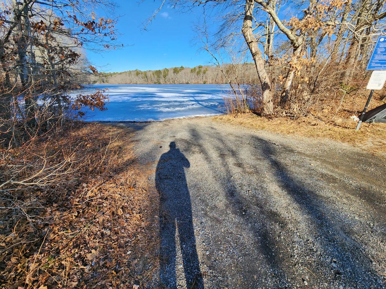
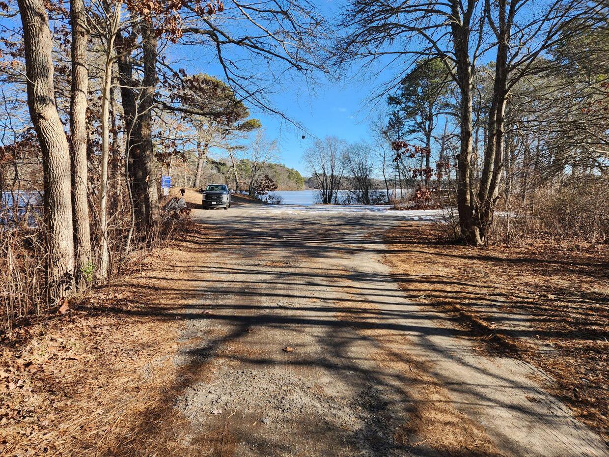
The Town of Mashpee manages a gravel ramp suitable for cartop boats, canoes, and light trailered boats off of Timberlane Drive in the northwest section of the pond (get directions to northwest section). There is parking for approximately 10 vehicles; outboard motors are limited to a maximum of 10 hp. During the summer months, parking is limited to residents with town issued stickers. However, boats can be launched and roadside parking found nearby; be sure to obey all local parking ordinances. Shore fishing is possible near the launch and also within the Santuit Pond preserve which encompasses the southern portions of the pond. Parking for trail access into the preserve is available at trail heads off of Santuit-Newtown Road in Barnstable (get directions to Barnstable trail access parking) and Route 130 in Mashpee (get directions to Mashpee trail access parking). Please contact the Town of Mashpee for additional information, fee structure, and/or restrictions pertaining to public access of Santuit Pond.
Fish populations
The following fish species were found during MassWildlife surveys:
- largemouth bass
- white perch
- yellow perch
- chain pickerel
- pumpkinseed
- brown bullhead
- white sucker
- golden shiner
- American eel
- river herring
Fishing
Santuit Pond is one of the most fertile ponds on Cape Cod and offers good fishing for largemouth bass, chain pickerel, pumpkinseed, and brown bullhead. There are big largemouth bass here due to the food supply provided by the river herring which run up the Santuit River. Santuit Pond is a good bet for ice fishing when conditions permit. Santuit Pond has produced largemouth bass, smallmouth bass, chain pickerel, yellow perch, and white perch that meet minimum sizes for recognition by the Freshwater Sportfishing Awards Program.
More fishing resources:
Stop aquatic hitchhikers
Prevent the transport of nuisance species; clean all recreational equipment. Visit ProtectYourWaters.net to learn more.