Background
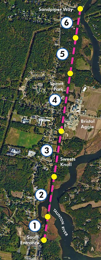
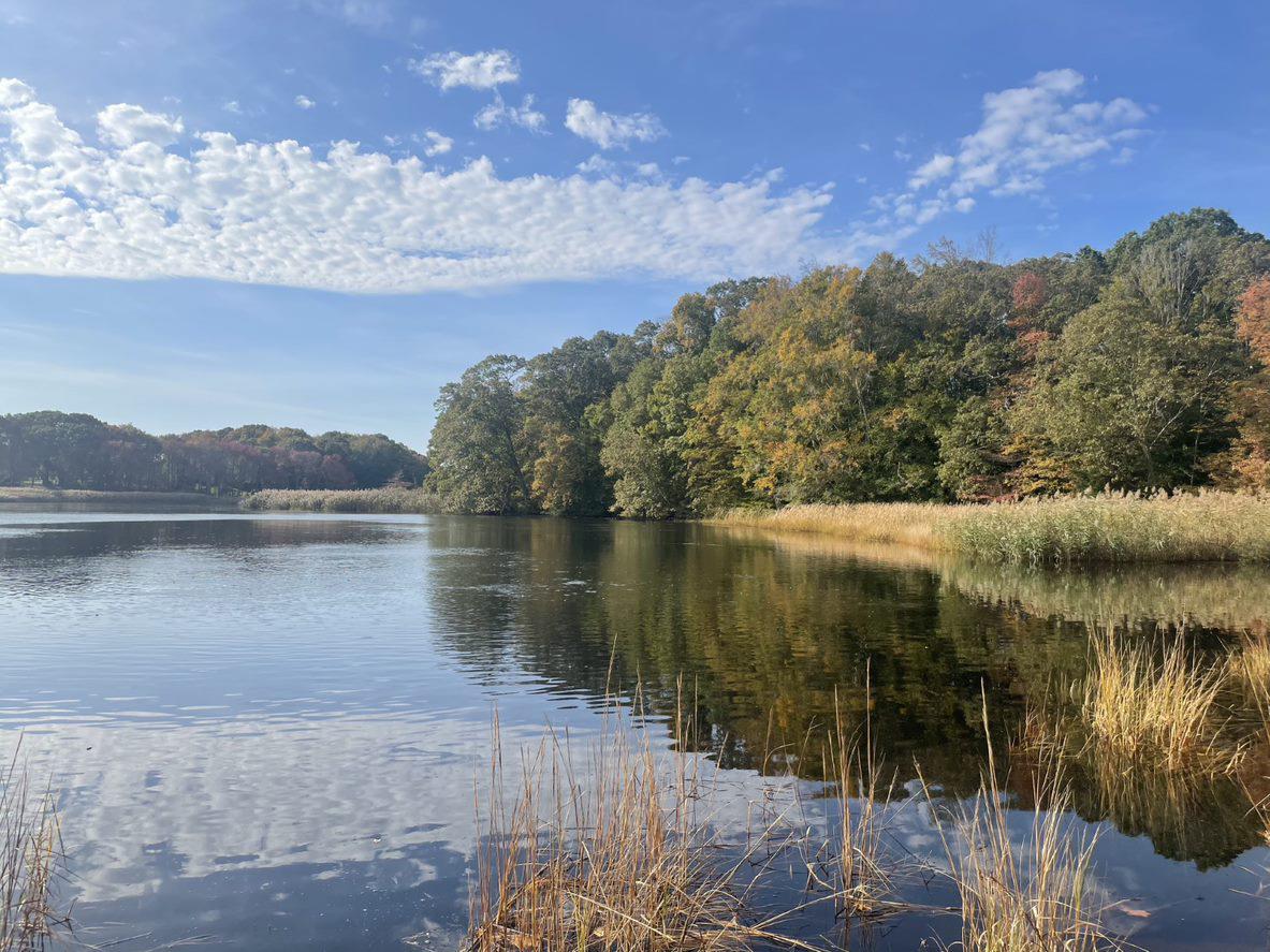
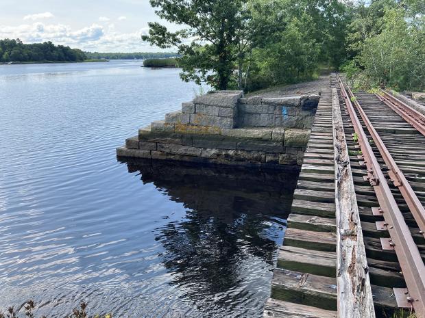
Extending from Somerset, MA northward, the Taunton River Trail affords stunning views of the federally designated Wild & Scenic Taunton River. The envisioned 22-mile Taunton River Trail, when complete, will enhance public access and connect communities along the river corridor. DCR is advancing the design of a two-mile segment of the Taunton River Trail on an existing railroad right-of-way through Sweets Knoll State Park in Dighton, MA.
Project Goals and Scope
Although the primary goal is to create a shared-use path that will serve locals and visitors alike who wish to walk, run, bicycle, or skate through Sweets Knoll State Park and along the banks of the river, the project also will advance the following goals:
- Protect and restore the ecologically sensitive landscape and cultural resources.
- Enhance public access to Sweets Knoll State Park and the Taunton River for recreating, fishing, and enjoying nature.
- Educate the public about the history and ecology of the site, including thousands of years of human settlement.
To achieve this vision, DCR retained a consultant team led by Horsley Witten Group. The design and permitting process, which kicked off in February 2022, will continue into 2024, with several opportunities for public input.
Project Milestones (Dates are approximate and subject to change)
Phase 1 – Conceptual Design (2022)
Phase 2 – Design Development and Permitting (2023)
- Next Public Meeting: TBD
Phase 3 – Construction Documents and Construction (2024 and beyond)