
Description
Whitehall Reservoir is a 620-acre great pond located about a quarter mile south of Route 135 and a mile west of Route 495 in Hopkinton. The average depth of Whitehall Reservoir is 6 feet with a maximum of 30 feet, and water transparency varies between 6 and 10 feet. The bottom type is also variable, consisting of gravel, rubble, and mud with lots of physical structure in the form of humps, islands, and fallen trees. Aquatic vegetation is abundant heaviest along the western shoreline. The reservoir lies within Whitehall State Park thus its immediate shoreline is not developed although houses and roads may be seen a short distance from shore in some locations.
Recreational access
The Department of Conservation and Recreation (DCR) manages a 2 lane concrete ramp and adjacent parking area suitable for 30 vehicles off Route 135 on the far northern shore (get directions). There is also a small, unimproved access for car top boats and canoes off Pond Street on the extreme southern tip of the pond (get directions). Watercraft are prohibited from exceeding 12 MPH while on the reservoir. The entire shoreline is accessible via trails which encircle the reservoir. Please contact the offices of Hopkinton State Park for additional information, and/or restrictions pertaining to public access of Whitehall Reservoir.
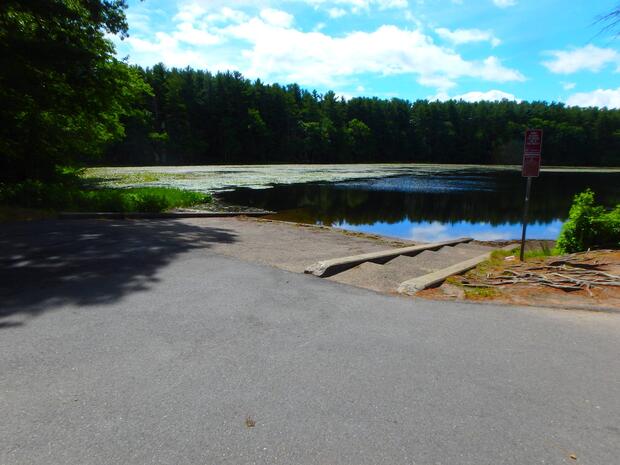
The concrete boat ramp off of Rt. 135 on the far northern tip of Whitehall Reservoir.
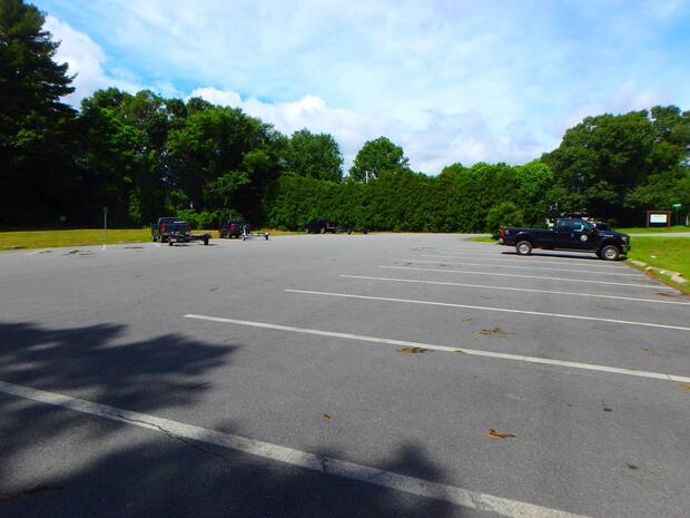
Parking associated with the concrete ramp off Rt. 135 on the northern tip of Whitehall Reservoir.
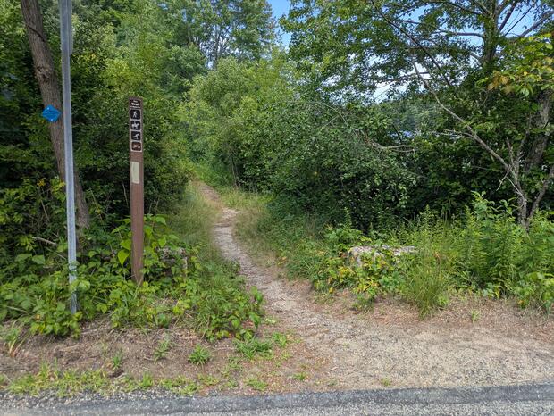
A second access is provided at this trailhead off of Pond Street, parking is roadside in a pull off.
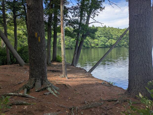
From the trail head on Pond Street you can carry a boat to the water or shore fish at sites like this.
Fish populations
The following fish species were found during MassWildlife surveys:
- largemouth bass
- chain pickerel
- yellow perch
- white perch
- black crappie
- bluegill
- pumpkinseed
- brown bullhead
- golden shiner
Whitehall Reservoir is stocked each spring with trout.
Fishing
Trout fishing is popular in spring and early summer here, particularly in and around the deeper hole within the southern portions of the reservoir. However, Whitehall is known best for its warm water fishing most notably, largemouth bass. There is an excellent largemouth bass population with good numbers of legal-size fish with some larger 4-6 pound fish mixed in. Perch and bullhead are also popular in Whitehall Reservoir. Combined, its large size, abundant structure, and complex shoreline offer a large variety of habitats ideal of fish and anglers. Whitehall Reservoir has produced largemouth bass, chain pickerel, white perch, black crappie, bullhead, and rainbow trout that meet minimum sizes for recognition by the Freshwater Sportfishing Awards Program.
More fishing resources:
Stop aquatic hitchhikers
Prevent the transport of nuisance species; clean all recreational equipment. Visit ProtectYourWaters.net to learn more.