Rules and Regulations
All of DWSP's Public Access Policies are based on 313 CMR 11.09, the General Rules and Regulations for the Protection of Watersheds and Watershed System.
Watershed Protection General Rules and Regulations 313 CMR 11.09
Each of the four watersheds have policies developed through a Public Access Management Plan. The maps below reflect these policies.
Interactive Public Access Map
The Division of Water Supply Protection has developed an interactive map with detailed information about public access roads and trails, fishing, and hunting in the Quabbin Reservoir, Ware River, Wachusett Reservoir, and Sudbury Reservoir watersheds. These maps meet current accessibility guidelines.
There are two ways to access this map: one is an online program that is accessible from your desktop computer or mobile device’s web browser; the other is through an App you can download directly to your mobile device and use in the field. The mobile device App is recommended for use in the field.
Click here to directly access the on-line DCR-DWSP Public Access Maps.
Please use the Instructions for using DCR Division of Water Supply Protections Public Access Maps in ArcGIS Field Maps for information about the mobile app.
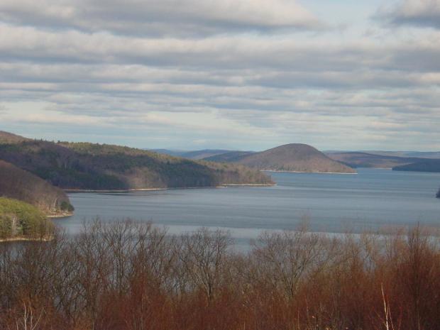
Quabbin Reservoir Watershed
Quabbin Reservoir Watershed System Public Access Summary (includes system map)
The Gate 30 parking area off Route 122 in New Salem, and all access to the Quabbin Reservation from this location, is closed as of July 10, 2021. The road just inside Gate 30 crosses the Swift River over a keystone bridge; DCR engineers have determined that damage to both the bridge and road make them no longer safe for public use until repairs can be completed. DCR recommends using Gate 29 on Route 202 to access this section of the Quabbin Reservation.
StoryMap Trail Guides
StoryMaps use maps, pictures, and words to help you on a self-guided hike in different locations around the Wachusett Reservoir.
Additional Resources
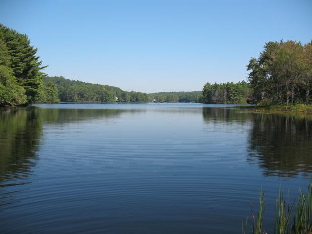
Ware River Watershed
Additional Resources
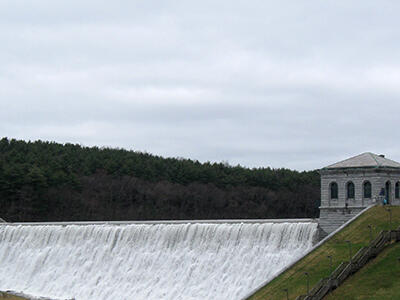
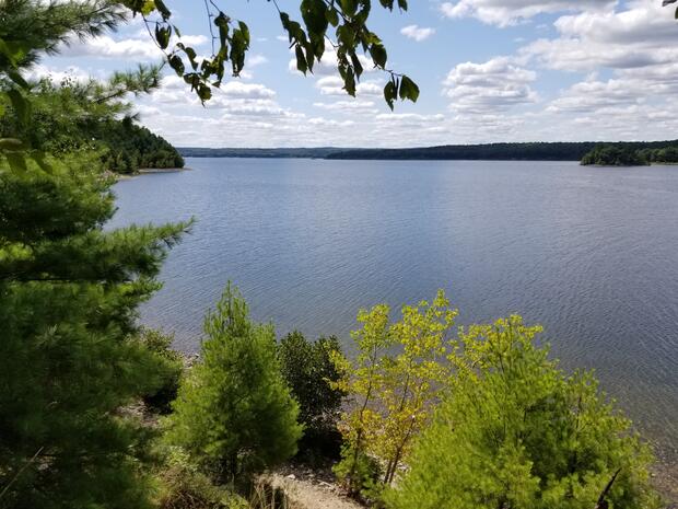
Wachusett Reservoir Watershed
2023 Wachusett Reservoir Watershed Public Access Summary
StoryMap Trail Guides
StoryMaps use maps, pictures, and words to help you on a self-guided hike in different locations around the Wachusett Reservoir.