
Description
Falls Pond is a 112-acre impoundment of the Ten Mile River in North Attleborough. Reservoir Street splits the pond into a northern basin known as Coral Lake (63 acres) and a southern basin called Reservoir Pond (50 acres). The northern basin has an average depth of 13 feet and a maximum depth of 32 feet while the southern basin has an average depth of 8 feet and a maximum depth of 21 feet. Water transparency varies between 3 and 6 feet throughout and the shores are heavily developed with residences. The bottom of both ponds is predominantly mud with several rock outcroppings and islands.
Recreational access
The town of North Attleborough manages a paved boat ramp suitable for trailered craft at the Joseph F. Zaino Memorial Conservation and Recreation Area at the end of Barbara Road in the north basin (get directions). Parking is available for Massachusetts residents at a large, paved lot for a fee and shore access is limited to areas adjacent to the ramp. Motors in the north basin are limited to a maximum of twenty-five horsepower. The adjacent beach is limited to residents only and a gate restricts access to the ramp.
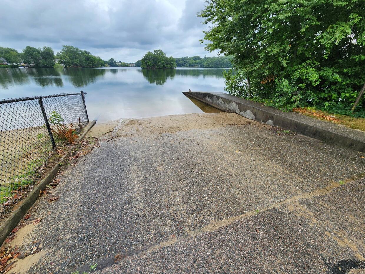
Boat ramp for the northern basin of Falls Pond at the end of Barbara Road.
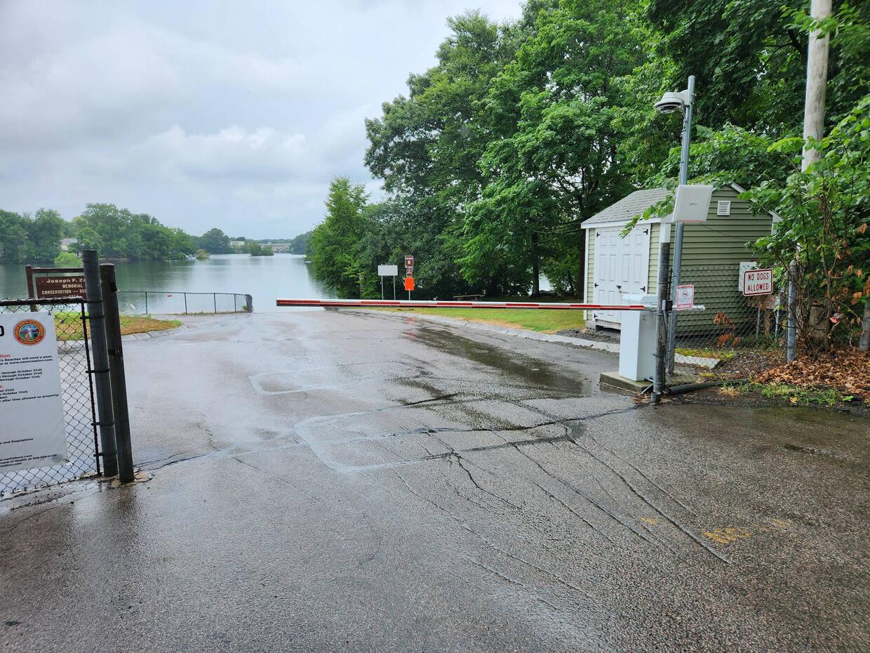
Access gate for the boat ramp.
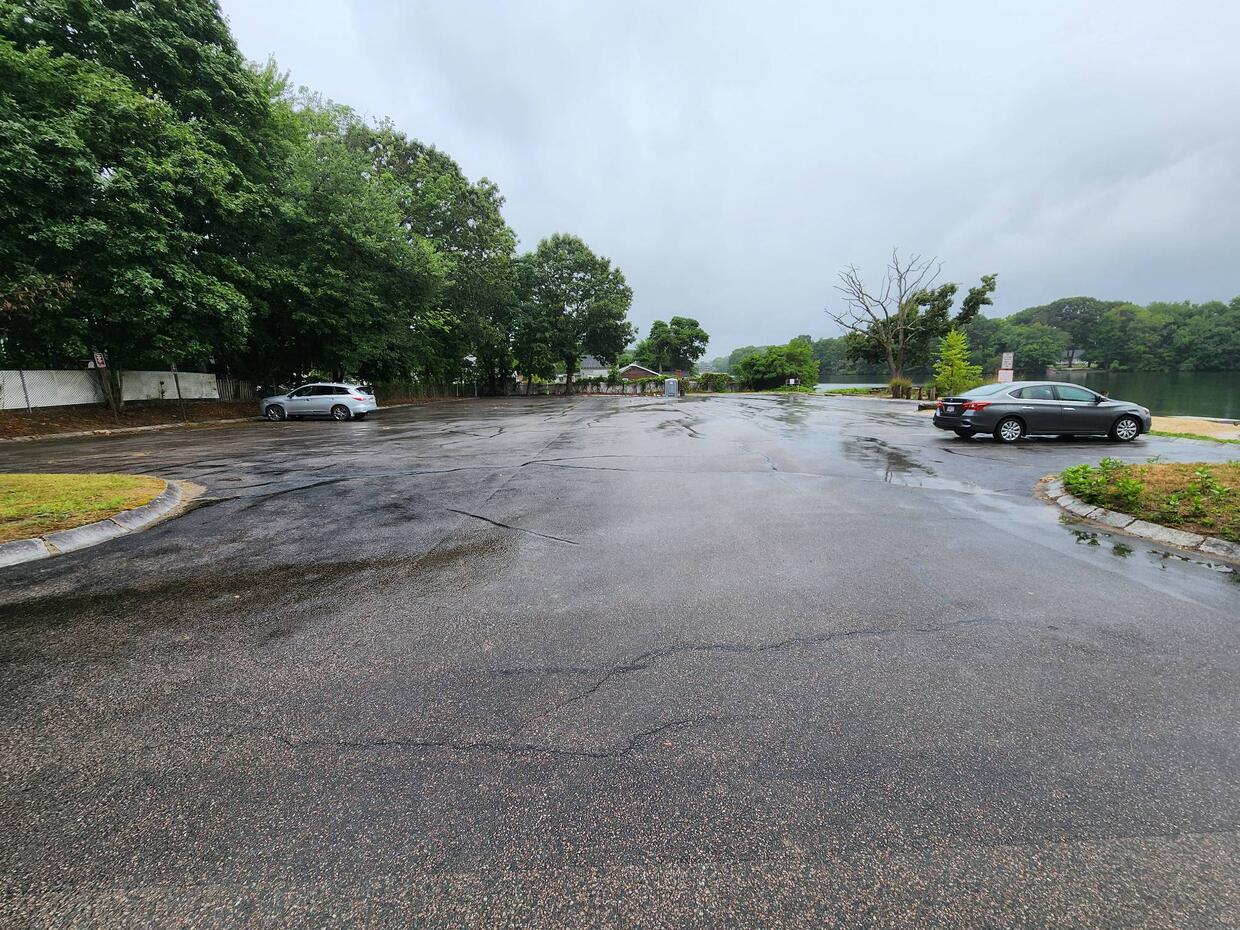
Parking for Falls Pond at the end of Barbara Road
The southern basin is accessed by a paved boat ramp managed by the North Attleborough Conservation Commission located at the end of Metters Street (get directions). The ramp is suitable for launching cartop boats and light trailered craft and parking at the ramp is limited to only a few cars. Motors in the south basin are limited to five horsepower. Shore and cartop boat access in the south basin is also possible at the Martin Conservation Area at the end of Wild Acres road (get directions). Please contact the town of North Attleborough for additional information, fee structure, and/or restrictions pertaining to public access of Falls Pond.
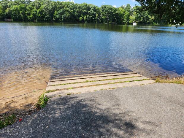
The concrete boat ramp into the south basin of Falls Pond off of Metters Street.
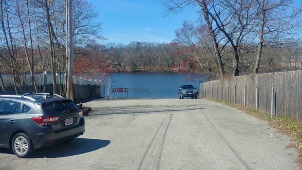
Parking for the boat ramp at the end of Metters Street.
Fish populations
The following fish species were found during MassWildlife surveys:
- largemouth bass
- yellow perch
- white perch
- black crappie
- bluegill
- pumpkinseed
- golden shiner
The south basin of Falls Pond is stocked each spring and fall with trout.
Fishing
Spring and fall trout fishing accounts for much of the angler interest in the south basin of Falls Pond. Outside of these times anglers often target largemouth bass and yellow perch in both basins. Falls Pond has produced largemouth bass, yellow perch, and rainbow trout that meet the minimum size for recognition by the Freshwater Sportfishing Awards Program.
More fishing resources:
Stop aquatic hitchhikers
Prevent the transport of nuisance species; clean all recreational equipment. Visit ProtectYourWaters.net to learn more.