Downloads
Overview
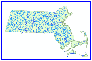
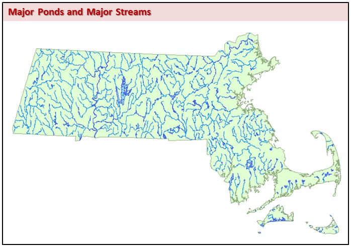
The Major Ponds and Major Streams datalayers represent a subset of hydrographic features from the Hydrography (1:100,000) layer. Large water bodies and rivers are included in these two layers, respectively, and are meant to be used for plotting small-scale maps. The layers are named MAJPOND_POLY and MAJSTRM_ARC.
Production
The data were taken from the more detailed 1:100,000 hydrography layer, which was developed from the US Geological Survey’s National Marine Division 1:100,000 digital line graphs (DLGs). The determination of which features should be considered “major” was made by M. Frimpter, Chief Hydrologist for the USGS.
Attributes
The polygon attribute table has the following fields:
| Field name | Description |
|---|---|
| TYPE | Hydrographic feature type as text : P = Pond DS = Doubleline River |
| FEATURE | Hydrographic feature type as a number: 1 = Pond 2 = Doubleline River |
| NAME | Name of feature (if known) |
| SQ_METERS | Area of polygon in square meters |
The line layer attribute table has no attributes.
Maintenance
MassGIS is maintaining these layers. The NAME and SQ_METERS fields were added to the polygon layer in the February 2013 update, at which time the island polygons (TYPE = "I") inside water bodies were removed. Additionally, the PRIMARY field was removed from both layers.
In December 2019, Petersons Saw Mill Pond in Duxbury was renamed from "North West Duxbury Pond".
For more detailed hydrography, see these layers: