
Downloads
Overview
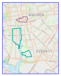
The Transformative Development Initiative (TDI) is a program designed to accelerate economic development in focused districts. These “TDI districts” are walkable, dense environments that have the potential to attract investment, inspire a wave of growth, and transform Gateway Cities and beyond.
Data provided by Massachusetts Development Finance Agency (DBA: MassDevelopment) departments of Engineering and Community Development, Commonwealth of Massachusetts. Retrieved July 2026.
This layer is named TDI_DISTRICTS_POLY.
Production
MassGIS received four shapefiles (one for Active districts and three for graduated districts) from MassDevelopment and merged them into a single feature class and added the STATUS field.
Attributes
The point attribute table contains the following fields:
| Field | Description |
|---|---|
| TOWNNAME | City in which the district is located |
| TDI_COHORT | The competitive round of applications for districts. The cohort number (1-4) specifies which round of district applications this district is from. The first round of applications (Cohort 1) occurred in 2015. |
| SUB_COHORT | The TDI Fellow’s cohort selected within each round of accepted districts. The sub-cohort number indicates when new TDI Fellow(s) have been assigned to a district. For instance, cohort 1 had staggered Fellow involvement which led to three groups of Fellows joining this cohort at separate dates. |
| DISTRICT | Name of the district |
| STATUS | District status: Active - The district is actively receiving TDI program resources Graduated - The district is no longer receiving TDI Fellow support or full resources |
Maintenance
MassGIS will update this datalayer as needed with data from MassDevelopment.
| Date published: | September 3, 2026 |
|---|