Downloads
Overview
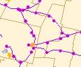
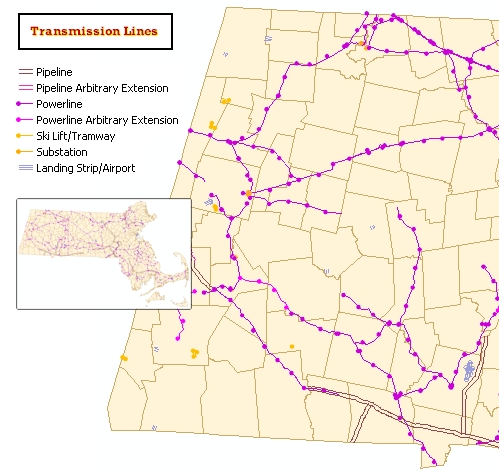
The U.S. Geological Survey (USGS) distributes Digital Line Graphs (DLG) from its 1:100,000-scale maps showing pipelines, transmission lines, and other miscellaneous transportation features. MassGIS assembled these data into a statewide layer consisting of all the transportation features identified by USGS other than railroads and vehicle roadways and which appear on the 1:100,000 USGS quadrangle sheets.
Although the pipelines and transmission lines appear on maps, they are not necessarily in active use. The linework is generally excellent, although MassGIS has noted that some lines are discontinuous (not perfectly edgematched) at USGS 1:100,000 quadrangle boundaries. Railroad transportation features are included in the Trains layer.
The layer is named TRANSLINES_ARC in ArcSDE.
Attributes
The layer's arc attribute table includes the following concatenated code attributes from the original DLG file MAJOR/MINOR pairs:
MINOR_NUM DESCRIPTION
========= ===========
201 PIPELINE
202 POWERLINE
204 SKI LIFT/TRAMWAY
401 SUBSTATION
403 LANDING STRIP/AIRPORT
201205 PIPELINE ARBITRARY EXTENSION
202205 POWERLINE ARBITRARY EXTENSION
More information about the 1:100,000 DLG files including the major/minor code descriptions can be found in the USGS National Mapping Division publication, Digital Line Graphs from 1:100,000-Scale Maps.
The SOURCE item was added as part of the March 2007 update to identify the arcs provided to MassGIS from the Pioneer Valley Planning Commission Regional Planning Agency. These are coded as "PVPC"; all others are coded as "USGS".
Maintenance
In March 2007 the linework in the PVPC area was replaced (on 3/6 and again on 3/15), using data provided from the PVPC GIS program. Linework in the rest of the state was not modified.