Downloads
Overview
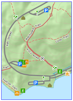
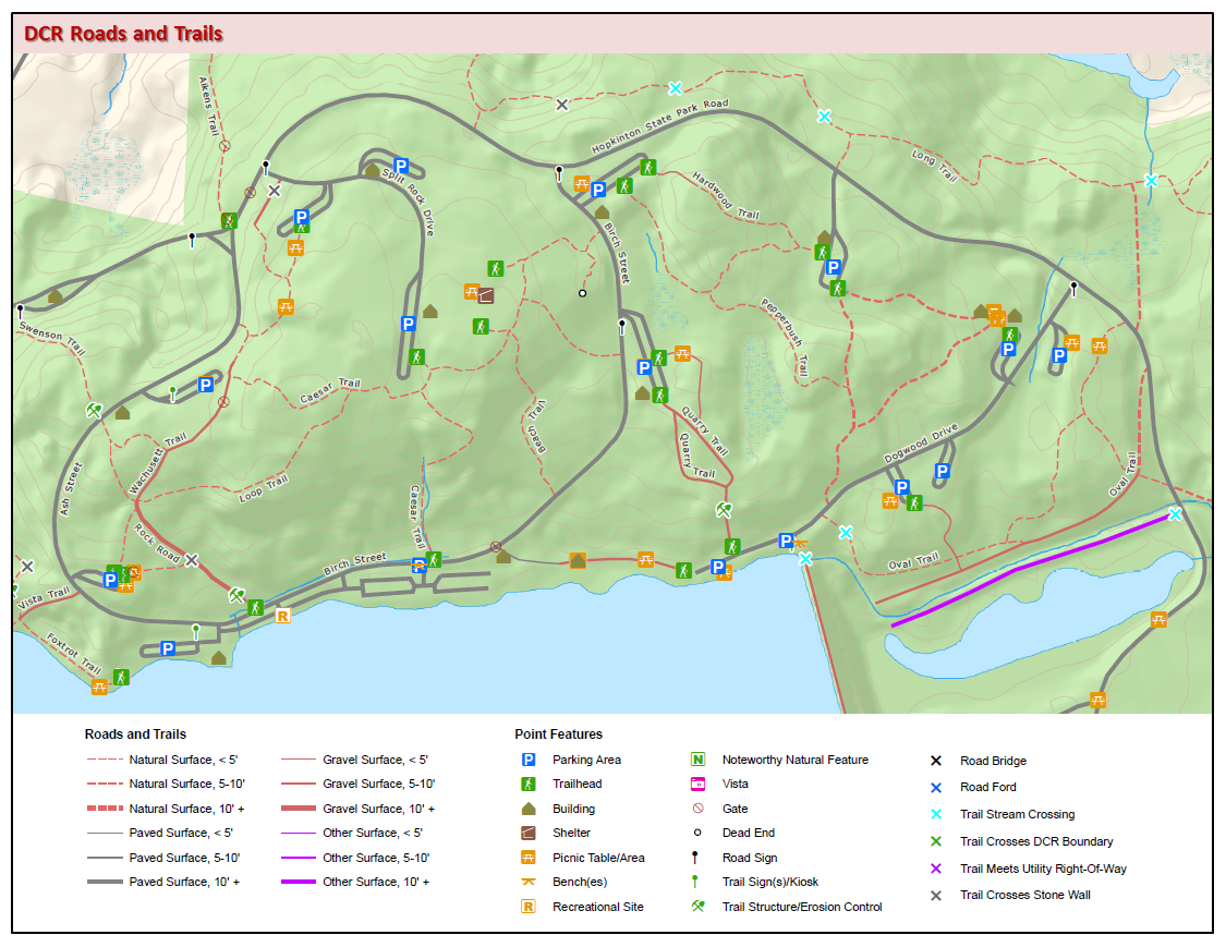
The Massachusetts Department of Conservation and Recreation (DCR) – Division of State Parks and Recreation (DSPR) Roads and Trails datalayer contains all legal roads and trails (lines and point features) identified by DCR staff and consultants on DCR DSPR properties (as well as some of the Urban Parks; eventually all trails on these properties will be integrated into this dataset).Roads and trails on private and non-DCR public land were mapped if they connected to these roads and trails and should be used with permission and should not be used if posted.
These data are stored in two feature classes: DCR_ROADS_TRAILS_ARC and DCR_ROADS_TRAILS_PT.
Production
The dataset was developed during the years 2005 to 2015 in consultation with key DCR DSPR staff by private contractors using GPS receivers capable of two-meter accuracy (with post processing). Review of field collected data, editing, additional field work, DCR staff review and final processing was done by DCR DSPR Bureau of Forestry, Management Forestry staff headed by David Goodwin with production assistance from Amanda Lewis, Alicia Johnson and Bradford Wykoff.
Contractors (by DCR DSPR Management Forestry district) were:
- Northern Berkshire – New England Forestry Consultants, Inc., Sean Libbey
- Central Berkshire – REWC Land Management, Robert Collins
- Southern Berkshire – The Kenerson Group, Michael Barry
- Western Connecticut Valley – Land Stewardship, Inc., Nicholas Holland
- Eastern Connecticut Valley – Land Stewardship, Inc., Nicholas Holland
- Mid State - – New England Forestry Consultants, Inc., Sean Libbey and The Kenerson Group, Michael Barry
- Northeast – Land Stewardship, Inc., Nicholas Holland
- Southeast – Land Stewardship, Inc., Nicholas Holland
MassGIS provided additional quality assurance on these layers.