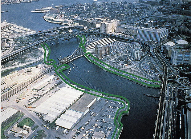
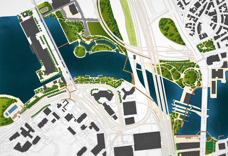
Over the past twenty years, the New Charles River Basin project has reshaped the “Lost Half Mile” of the river banks between the 1910 Charles River Dam (now the home of the Museum of Science) and the 1978 Charles River Dam and the Colonel Richard Gridley Locks. Guided by the New Charles River Basin Master Plan, the project has constructed over thirty acres of new open spaces along the river—Paul Revere Park, Nashua Street Park, and North Point Park. The design and construction of the New Basin was funded as mitigation for the taking of proposed parkland in the construction Charles River Crossing of the Central Artery/Tunnel Project.
Presentations
Contact
Address
State Transportation Building, 10 Park Plaza | Suite 6620 , Boston, MA 02116