View the most up to date Priority & Estimated habitats (15th Edition Natural Heritage Atlas, August 1, 2021): interactive map viewer
Priority Habitat
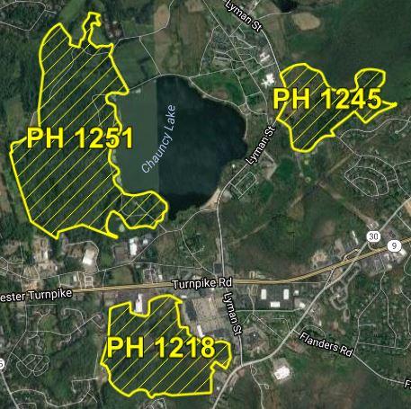
Priority Habitat is based on the known geographical extent of habitat for all state-listed rare species, both plants and animals, and is codified under the Massachusetts Endangered Species Act (MESA). Habitat alteration within Priority Habitats may result in a take of a state-listed species, and is subject to regulatory review by the Natural Heritage & Endangered Species Program.
Additional Resources
Estimated Habitat
Estimated Habitats are a sub-set of the Priority Habitats, and are based on the geographical extent of habitat of state-listed rare wetlands wildlife and is codified under the Wetlands Protection Act (WPA), which does not protect plants. State-listed wetland wildlife species are protected under the Massachusetts Endangered Species Act as well as the Wetlands Protection Act.
Additional Resources
View the Map
Access to Priority and Estimated Habitat maps is provided through a variety of sources:
- An interactive map viewer with address-matching capability is available online
- Priority Habitat GIS datalayers and Estimated Habitat GIS datalayers can be downloaded from MassGIS (appropriate software required for use)
- Large-scale PDF maps for each Town containing Priority Habitat are available for download, viewing, or printing
- A large-scale map may be purchased from NHESP
It is the responsibility of the land owner or project proponent to determine if their project falls within Priority Habitat or Estimated Habitat and requires review. Failure to file under MESA constitutes a violation of the Act and is subject to a fine (pursuant to 10.06).
Updates to the Map
We anticipate release of the 16th Edition Natural Heritage Atlas in late summer of 2026. The current map was released August 1, 2021 (the 15th Edition Natural Heritage Atlas).
Response to the comments received during the 2021 Public Comment period can be found below.
Updates are generally due to the following factors:
- changes to the MESA species list and observation occurrences
- species are added or removed from the list
- new observations are accepted into our database
- areas mapped from old observations (greater than 25 years) are removed
- latest research about habitat utilization
- evaluation of regulatory outcomes
- improved aerial photographs
Additional Resources
Contact
Online
Phone
Open M–F, 8 a.m.–4 p.m. (closed noon–12:30 for lunch)
North/Central/Western Massachusetts
Southeastern Massachusetts/Cape & Islands