What we do
Provide GIS data
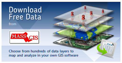
MassGIS maintains and distributes an extensive collection of geospatial "data layers" that you can download for free and use in your own GIS and mapping software and applications.
- Our raster data holdings include aerial ("orthophoto") imagery for many years, elevation models and LiDAR terrain data, impervious surface data, scanned USGS maps, and more.
- Our vector layers, distributed in the common shapefile format, fall into a wide variety of categories: Census, Coastal and Marine, Conservation/Recreation, Cultural, Environmental, Infrastructure and Transportation, Physical Resources, Political/Administrative Boundaries, and Regulated Areas. We also distribute geodatabases for some layers.
>> Explore the entire MassGIS data catalog
Offer online maps
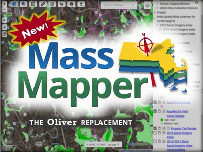
- MassMapper is our premier online data viewer and download application. We also provide several specialized or theme-focused web maps.
- Our ArcGIS Online platform contains dozens of web services and several maps and applications.
Check out the NEARC 2016 presentation on the innovative ways MassGIS is using the Cloud in our mapping and data work.
Esri's privacy policy applies to MassGIS' services in ArcGIS Online. No information is collected from public users by Esri or MassGIS when accessing these services. - Developers can learn more about MassGIS Geospatial Web Services. State agencies interested in including GIS and mapping capabilities in their web sites should contact MassGIS.
Coordinate GIS activities
Besides formal inter-agency projects and on-going staff-level collaboration, MassGIS coordinates state agency GIS efforts. If you are a state agency employee who uses GIS and want to receive info by email, please contact MassGIS.
In addition:
- MassGIS tracks the status of municipal GIS development and, as needed, communicates and coordinates with municipal GIS staff.
- The state's Operational Services Division (OSD) works closely with MassGIS staff on GIS related procurements. MassGIS led the procurement team that resulted in the current state blanket contract for ESRI GIS software and services; with funding from MassIT, MassGIS also developed and implemented the e-Gov "shared service" for on-line mapping on Commonwealth web-sites.
Work with the state's 911 department
MassGIS is working very closely with the State 911 Department in the state’s Executive Office of Public Safety and Security on a Next Generation 911 Emergency Call System. MassGIS’ role is developing the map and address information that are at the heart of this new system.
What MassGIS is doing and how this affects cities and towns in the Commonwealth
Provide GIS analysis and mapping services
GIS is a powerful tool for analysis. Over its long history, MassGIS has completed a variety of analysis projects for various state agencies. These projects have often supported significant legislative or policy initiatives. We've also done some analysis of our customer base and their needs.
Origins of MassGIS
The evolution of geographic information systems in the Commonwealth of Massachusetts is not unlike its development in other states. A lead agency, in this case the Executive Office of Energy and Environmental Affairs (EOEEA), perceived an opportunity to meet its goals through development of a statewide GIS. Three related feasibility studies were funded, a plan for development was negotiated with EOEEA's agencies, and that plan was implemented over a five year period, creating the Massachusetts Geographic Information System - MassGIS - in the late 1980s. As a result, EOEEA became a leading provider of digital geographic information within the Commonwealth and among Massachusetts public agencies using geographic information technology.
In 2010, a Task Force comprising a variety of stakeholders convened to determine the future of MassGIS. Organizational, governance, and funding issues were all studied to determine the best way to sustain MassGIS' critical mission. Given its evolution from working entirely on environmental themed projects to having a hand in Public Safety, Public Health, Education and a host of other non-environmental agencies and projects, the task force recommended moving MassGIS from the Environmental Secretariat to the Administration and Finance Secretariat's MassIT (now EOTSS).
Additional Resources
-
Open PDF file, 707.77 KB, Read the Report of the MassGIS Task Force (English, PDF 707.77 KB)
Using and crediting MassGIS data
Because the data that MassGIS creates, collects or otherwise has in its possession is a matter of public record, it can be used by anyone for their purposes. The only exception to this public record is the rare instance when MassGIS licenses certain datasets for internal use. In those cases, MassGIS is bound by the license to not redistribute this data.
When using MassGIS data on maps or in digital applications, source credit should be stated as "MassGIS (Bureau of Geographic Information), Commonwealth of Massachusetts EOTSS".
Have more questions?
Check out the MassGIS FAQ.