Downloads
zip file containing:
- statewide ESRI Shapefile (census2000hydro_poly.*)
Click to view larger image
Overview

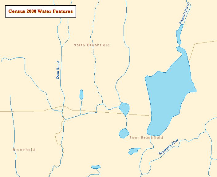
This layer was produced by MassGIS for display purposes when plotting hydrographic polygons (lakes and ponds) with other Census 2000 layers, as the MassGIS hydrography layers may not spatially match the Census data.
Production
To produce this layer, arcs in the Census 2000 TIGER Linework layer with CFCC codes representing lake and pond boundaries were extracted and built in ArcInfo Workstation for polygon topology. Edits (i.e., which polygons to include) were made based on the 1:25,000 Hydrography layer.