Types of accessible trails
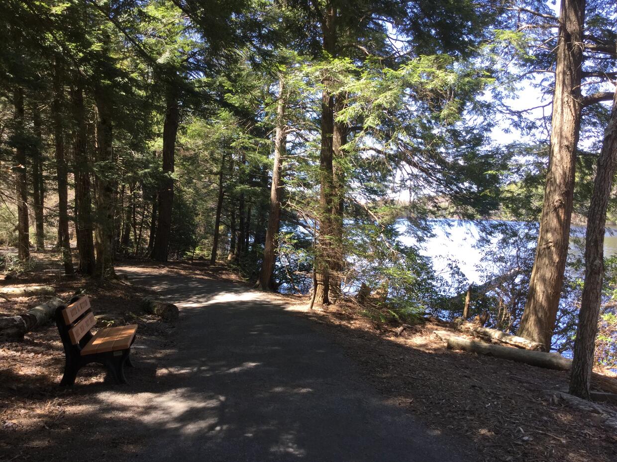
There are many different types of accessible trails in Massachusetts state parks. Any rail trail offers you a paved, level experience for access to natural areas and exercise. Several parks also offer accessibly-designed hiking trails in scenic, natural settings. These accessible trails are either paved or made from stone dust and are usually under a mile long.
All of our accessible trails have a firm, stable surface, without large roots or rocks. The trails are at least 36 inches wide, and usually wider. The slopes on these trails may be higher than the slopes you find on an accessible route, as the trail winds through the landscape. Many of our accessible trails follow the US Forest Service Trail Accessibility Guidelines for sustainable trails for all.
To help you plan your hike, the Universal Access Program is working on updating information about our trails. If you have questions about a trail, would like to recommend a trail for this list, or if you would like hiking recommendations for your area, please contact us.
Boston region accessible trails
| Park | Community | Trail name | Miles | Surface | Description |
|---|---|---|---|---|---|
| Beaver Brook | Belmont | Loop starting in main parking lot | 0.75 | Paved/natural | Wide trail among trees and open land. Steep entries may require assistance. |
| Breakheart Reservation | Saugus, Wakefield | Pine Tops Road | 2 | Paved | A paved forested roadway to Pearce Lake. Maximum running slope of 20% for short distances. |
| Castle Island | Boston | Castle Island Loop | 0.75 | Paved | Wide urban walkway at historic waterfront site. |
| Belle Isle Marsh Reservation | East Boston | Belle Isle Meadow Loop | 0.6 | Stone dust | Boardwalk access to the salt marsh, benches, dynamic birding, and views of planes flying into Logan airport. There are no restrooms. |
| Charles River Reservation | Watertown | Watertown Riverfront Park and Braille Trail | 0.25 | Stone dust | This loop is located within the Watertown Riverfront Park sensory garden, at the intersection of Charles River Road and Irving Street. The sensory garden's elements incorporate several senses, including touch, hearing, and smell. The Braille Trail includes a guide wire with beads to mark interpretive panels and seating. Interpretive panels are offered in both English and Braille. |
| Charles River Reservation (upper) | Waltham, Newton | Farwell to Elm Street Loop | 1.6 | ||
| Charles River Reservation (upper) | Waltham, Newton | Galen to Bridge Street Loop | 1.6 | Wide urban walkway along the river, with benches. | |
| Charles River Reservation (upper) | Waltham, Newton | Moody to Prospect Loop | 0.5 | This riverside trail connects Waltham Center with an accessible canoe launch. | |
| Charles River Reservation Esplanade | Boston | Esplanade Loop | 1.5 | ||
| Mary O'Malley Park | Chelsea | Mary O'Malley Loop | 1 | Urban park pathways. | |
| Nahant Beach | Lynn | Nahant Beach Promenade Trail | 3 | Paved | A wide, pedestrian recreation path with views of the ocean bay and beach access. |
| Nantasket Beach | Hull | Promenade | 1.5 | Wide urban walkway along the beach. | |
| Pleasure Bay | Boston | Pleasure Bay Loop | 1.9 | Wide urban walkway along the beach. | |
| Revere Beach Reservation | Revere | Revere Beach Blvd. Trail | 0.8 | Wide urban walkway along the beach. | |
| Spectacle Island | Boston | Perimeter Trail | 1.5 | Trail from visitor center circles the island. | |
| Wollaston Beach | Quincy | Manet Community Center Road to Health Trail | 2 | Wide urban walkway along the beach. | |
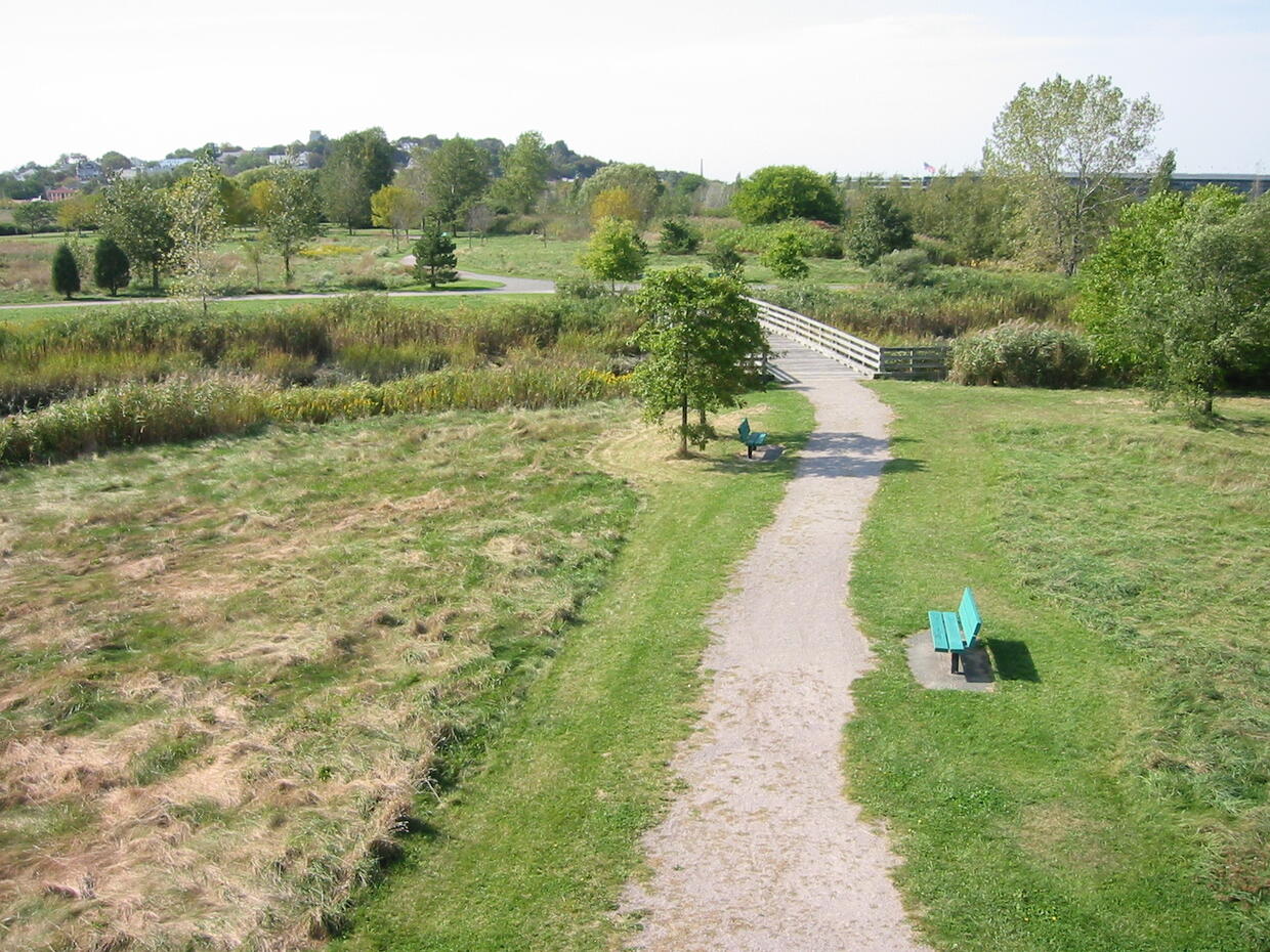
| Webb Memorial State Park | Weymouth | n/a | 1 | Stone dust | Trail winds among trees and open areas with harbor views. Restrooms |
North region accessible trails
| Park | Community | Trail Name | Miles | Surface | Description |
|---|---|---|---|---|---|
| Bradley Palmer State Park | Topsfield | Accessible Trail | 0.5 | Stone dust | This shaded trail travels over half a mile on level terrain along the Ipswich River, with a picnic table and boardwalk mid-way. Trail ends at a bridge over the river. |
| Harold Parker State Forest | North Andover | Accessible trail at Berry Pond | 1 | Stone dust | Moderate grades through the woods. Views of Berry Pond and access to a CCC pavilion. |
| Lowell Heritage State Park | Lowell | Lowell Esplanade | 1.5 | Runs along the Merrimack River. | |
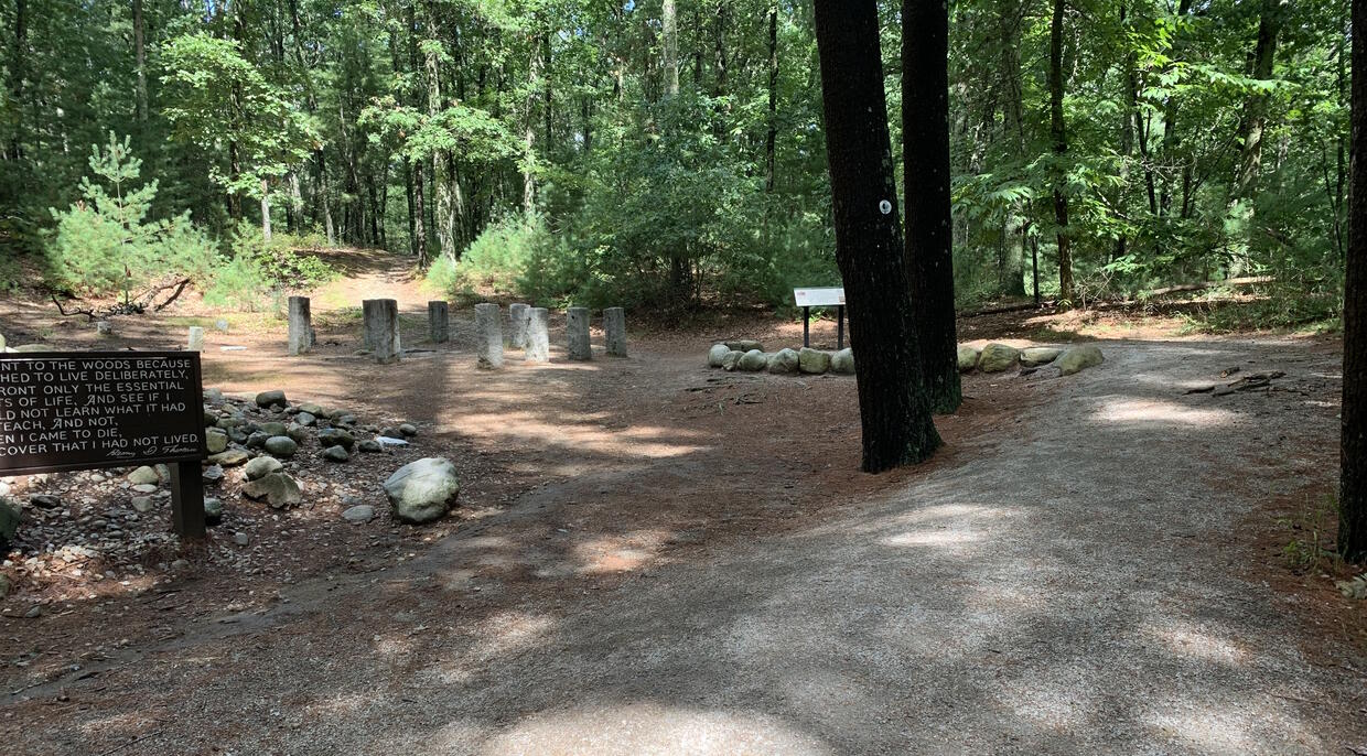
| Walden Pond State Reservation | Concord | House Site Trail | 1 mile out and back | Stone dust | This trail starts across from the visitors center and then meanders through the woods to the site of Thoreau's cabin. Trail width: 5-7 feet Cross slope: typical < 2%, maximum 5% Running slope: typical < 5%, maximum 10% |
South region accessible trails
| Park | Community | Trail Name | Miles | Surface | Description |
|---|---|---|---|---|---|
| Cape Cod Rail Trail | South Dennis, Harwich, Brewster, Orleans, Eastham, Wellfleet | Cape Cod Rail Trail | 22 | Paved | Much of the trail is flat, but several sections are steep. Accessible parking is provided in the DCR parking lot at Nickerson State Forest, near a flat section of the trail. |
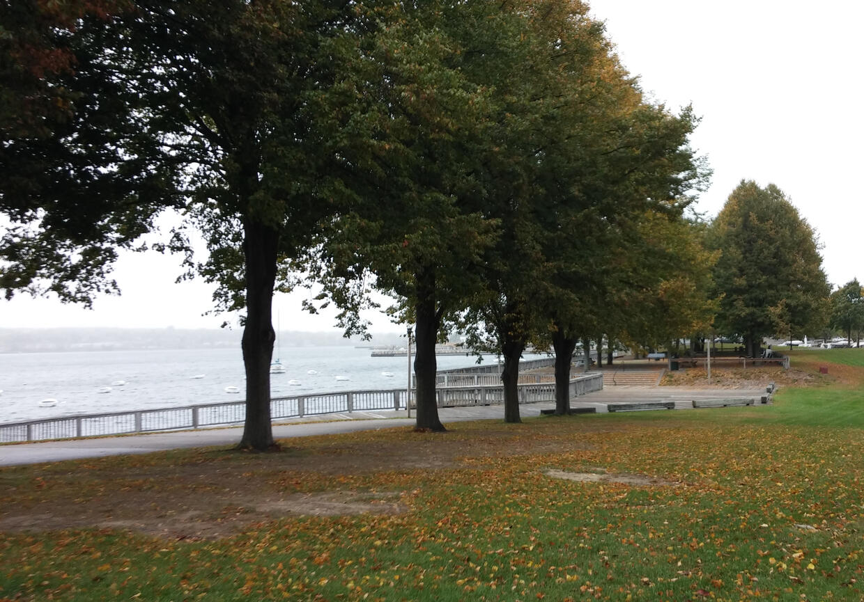
| Fall River Heritage State Park | Fall River | Boardwalk | 0.75 | Wooden boardwalk | A wide boardwalk along the Taunton River with views of ships on an urban waterfront. |
| Horseneck Beach State Reservation | Westport | Beach Road | 2 | Paved | |
| Manuel F. Correllus State Forest | Edgartown, W. Tisbury, Oak Bluffs | Bicycle Trail | Paved | 10 miles of multi-use trail loop around the Forest, and a smaller 3-mile loop is located inside the Forest. Most of the path is flat, with a few steep sections on the south and southwest side of the Forest. Four paved parking lots are located in the Forest. | |
| Scusset Beach State Reservation | Sandwich | Cape Cod Canal Pathway | 7.5 | Paved | A 7.5 mile paved walkway skirts the Cape Cod Canal and offers a fishing pier. |
| Wompatuck State Park | Hingham | Wompatuck | 1.25 |
Central region accessible trails
| Park | Community | Trail name | Miles | Surface | Description |
|---|---|---|---|---|---|
| Blackstone River and Canal Heritage State Park | Blackstone, Millville, Uxbridge | Blackstone River Greenway | 3.7 | Paved | 8-10 foot wide shared use path. Travels alongside waterways, through wooded areas and open lands, passing a “Triad Bridge” crossing where 3 bridges overlap. |
| Dunn State Park | Gardner | Woodland Trail | 1 | Stone dust | A three-quarter-mile stone dust trail that loops through the forest. |
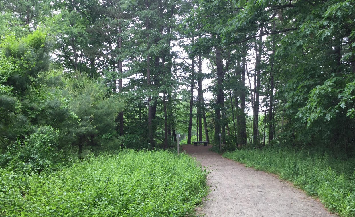
| J. Harry Rich State Forest | Groton | John Tinker Trail | 0.25 | Stone dust | This flat, out-and-back trail runs through the woods and along the Nashua River. It offers a bench at the beginning, two rest areas with benches along the way, and a bench and a picnic table at the end. The trailhead is on the north side of Nod Rd., approximately ½ mile ENE from Rte. 119 where it crosses the Nashua River. The lot at the head of the trail is unpaved and has one designated accessible parking space. |
| Nashua River Rail Trail | Ayer, Groton, Pepperell, Dunstable | Nashua River Rail Trail | 11 | Paved | Accessible parking is provided in the center of Groton at the Station Road entrance. |
| Wells State Park | Sturbridge | Mill Pond Trail | 1 | Stone dust | TRAIL CLOSED: This trail is currently closed for repairs and alterations. The trail is expected to re-open with an improved trail experience in 2026. A 1-mile loop through forested area that includes wetlands and historic stonework. The parking lot is 800 feet away from the trailhead along a paved vehicle road. |
West region accessible trails
| Park | Community | Trail Name | Miles | Surface | Description |
|---|---|---|---|---|---|
| Ashuwillticook Rail Trail | Lanesborough, Cheshire, Adams | Ashuwillticook Rail Trail | 11 | Paved | 10 foot wide shared use path travels alongside river and reservoirs, through towns, open space and wooded areas, with views of Mount Greylock. |
| Canalside Rail Trail | East Deerfield, Turners Falls | Canalside Rail Trail | 3.7 | Shared use path that runs along a canal. Best accessibility on the quieter Connecticut River end of the trail in Deerfield. | |
| DAR State Forest | Goshen | Accessible Trail | 0.4 | Stone dust | Features a one-half mile stabilized stone dust trail that travels through the woods alongside Upper Highland lake. Includes benches, a fishing pier, and lakeside views. |
| Norwottuck Rail Trail | Northampton, Hadley, Amherst, Belchertown | Norwottuck Rail Trail | 11 | Paved | 8-10 foot wide shared use path travels through agricultural lands, wetlands and forest with a bridge over the Connecticut River at one end. |
| Pittsfield State Forest | Pittsfield | Tranquility Trail | 0.75 | Paved | A paved three-quarter mile trail winds through the woods and crosses a brook. |
| Mount Tom State Reservation | Holyoke | Universal Access Trail | 0.5 | Stone dust | A half-mile forested loop trail along Lake Bray with 2 accessible fishing piers. |
| Savoy Mountain State Forest | Florida | North Pond Loop (portion) | 0.25 | Stone dust | A quarter mile of stabilized stone dust trail travels through woods and skirts the pond. Offers benches and views. |
Contact
Fax
Address
| Last updated: | November 22, 2024 |
|---|